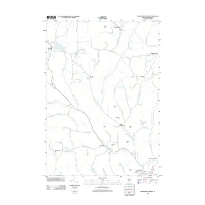
2012 Map of Woodstock North
USGS Topo · Published 2012About this map
The Ottauquechee River winds through the southern edge of this Windsor County landscape, anchoring the village of Woodstock and its iconic Middle Covered Bridge. The terrain is defined by a series of prominent peaks and gaps, including Hurricane Hill, Mount Tom, and The Gulf, which have shaped the local economy and recreation. During this era, the region's character as a winter sports destination is evident at the Suicide Six Ski Area and Sonneberg Ski Area, while the Silver Lake Camping Area in Barnard serves as a focal point for summer activity. Genealogy and local history are well-represented by a high density of burial grounds such as Old Cem, Barnard Cem, and the South Barnard Cem. The map traces a complex network of rural routes like Cloudland Rd and Hewitt Hill Rd that connect smaller hamlets such as Prosper, South Pomfret, and East Barnard.
Find a feature on this map
112 named features on this map. Tap any name to fly to it.
Don’t see what you’re looking for? This feature index may not catch every label — zoom into the map to look around manually.
Map Details
Editions of this 2012 Woodstock North Map
This is the sole edition of this map. No revisions or reprints were ever made.
Other maps of this area

1896 · Strafford
USGS Topo · 1:62,500

1906 · Hanover
USGS Topo · 1:62,500

1908 · Hanover
USGS Topo · 1:62,500

1911 · Woodstock
USGS Topo · 1:62,500

1913 · Woodstock
USGS Topo · 1:62,500

1919 · Royalton
USGS Topo · 1:62,500

1924 · Randolph
USGS Topo · 1:48,000

1926 · Randolph
USGS Topo · 1:62,500

1943 · Woodstock
USGS Topo · 1:62,500

1944 · Strafford
USGS Topo · 1:62,500