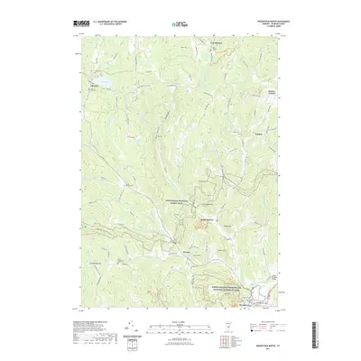
2021 Map of Woodstock North
USGS Topo · Published 2021About this map
Woodstock sits at the southern edge of this map, anchored by the Marsh-Billings-Rockefeller National Historical Park and the prominent heights of Mt Tom. The landscape is defined by the winding course of the Ottauquechee River and historical landmarks like the Middle Covered Bridge and Elm Street Bridge. Northward, the terrain rises into a series of hills and hollows including Turkey Hollow and Hawks Hill, where the Appalachian National Scenic Trail traverses the ridgelines.
Find a feature on this map
94 named features on this map. Tap any name to fly to it.
Don’t see what you’re looking for? This feature index may not catch every label — zoom into the map to look around manually.
Map Details
Editions of this 2021 Woodstock North Map
This is the sole edition of this map. No revisions or reprints were ever made.
Other maps of this area

1896 · Strafford
USGS Topo · 1:62,500

1906 · Hanover
USGS Topo · 1:62,500

1908 · Hanover
USGS Topo · 1:62,500

1911 · Woodstock
USGS Topo · 1:62,500

1913 · Woodstock
USGS Topo · 1:62,500

1919 · Royalton
USGS Topo · 1:62,500

1924 · Randolph
USGS Topo · 1:48,000

1926 · Randolph
USGS Topo · 1:62,500

1943 · Woodstock
USGS Topo · 1:62,500

1944 · Strafford
USGS Topo · 1:62,500