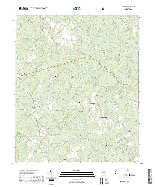
2024 Map of Woodville
USGS Topo · Published 2024About this map
Bairdstown and Woodville serve as central nodes in this rural Georgia landscape, situated along the border of Oglethorpe and Greene Counties. The area is defined by a dense network of family and community burial grounds, including the Absalom Janes Cem, Mitchell Cem, and Reynolds Cem, which offer significant value for genealogical research. To the southwest, the Oconee National Forest encompasses the headwaters of Rush Creek and Town Creek, while the central terrain is drained by the North Fork Little River and its various tributaries like Tuggle Creek. Small settlements such as Temperance Bell, Durham Town, and Bethesda are connected by a web of named country roads, reflecting the long-established agricultural and residential patterns of this Piedmont region. Water resources are prominent, with several engineered catchments like Reservoir 26 and Reservoir 31 dotting the drainages near Stewarts Lake.
Find a feature on this map
76 named features on this map. Tap any name to fly to it.
Don’t see what you’re looking for? This feature index may not catch every label — zoom into the map to look around manually.
Map Details
Editions of this 2024 Woodville Map
This is the sole edition of this map. No revisions or reprints were ever made.
Other maps of this area

1906 · Crawfordville
USGS Topo · 1:125,000

1953 · Athens
USGS Topo · 1:250,000

1958 · Athens
USGS Topo · 1:250,000

1959 · Athens
USGS Topo · 1:250,000

1963 · Athens
USGS Topo · 1:250,000

1965 · Woodville
USGS Topo · 1:24,000

1965 · Union Point
USGS Topo · 1:24,000

1966 · Philomath
USGS Topo · 1:24,000

1966 · Crawfordville
USGS Topo · 1:24,000

1971 · Maxeys
USGS Topo · 1:24,000