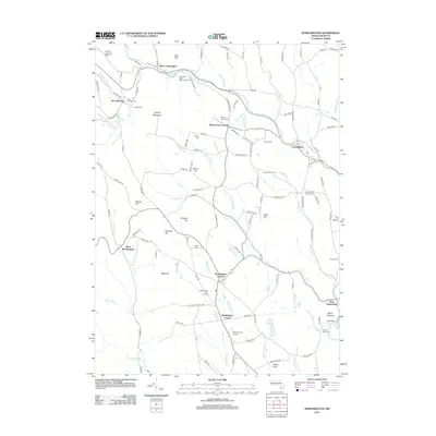
2012 Map of Worthington
USGS Topo · Published 2012About this map
The Westfield River and its various branches, including the Middle Br Westfield River, carve through this section of the Berkshire hills, defining the settlement patterns of towns like Cummington and West Worthington. The landscape is a mix of small agricultural hamlets and woodland, anchored by legacy sites such as the Bryant Homestead and the Cummington Fairgrounds. Regional connectivity is maintained through winding routes like Old Route 9 and Savoy Rd, which navigate the elevation changes between Bryant Mountain and Bashan Hill.
Find a feature on this map
132 named features on this map. Tap any name to fly to it.
Don’t see what you’re looking for? This feature index may not catch every label — zoom into the map to look around manually.
Map Details
Editions of this 2012 Worthington Map
This is the sole edition of this map. No revisions or reprints were ever made.
Other maps of this area

1886 · Greylock
USGS Topo · 1:62,500

1886 · Hawley
USGS Topo · 1:62,500

1886 · Chesterfield
USGS Topo · 1:62,500

1886 · Becket
USGS Topo · 1:62,500

1888 · Becket
USGS Topo · 1:62,500

1888 · Chesterfield
USGS Topo · 1:62,500

1890 · Hawley
USGS Topo · 1:62,500

1891 · Greylock
USGS Topo · 1:62,500

1893 · Chesterfield
USGS Topo · 1:62,500

1893 · Becket
USGS Topo · 1:62,500