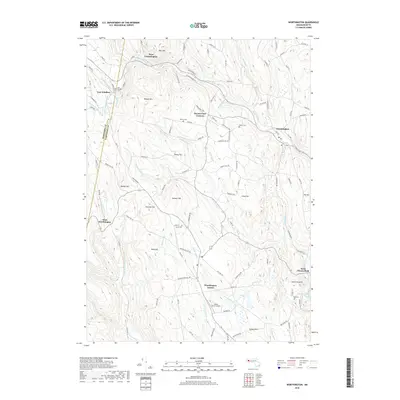
2018 Map of Worthington
USGS Topo · Published 2018About this map
Worthington Center and the high ridge settlements of the eastern Berkshires are documented in this recent survey. The landscape is defined by the steep drainage of the Westfield River and its numerous tributaries, including Bronson Brook and Wards Stream. Several small cemeteries such as North Cem, Bryant Cem, and Gate Cem provide vital reference points for local history. The topography is marked by notable peaks like Bryant Mtn and Honey Hill, illustrating the high-elevation terrain of the region.
Find a feature on this map
117 named features on this map. Tap any name to fly to it.
Don’t see what you’re looking for? This feature index may not catch every label — zoom into the map to look around manually.
Map Details
Editions of this 2018 Worthington Map
This is the sole edition of this map. No revisions or reprints were ever made.
Other maps of this area

1886 · Greylock
USGS Topo · 1:62,500

1886 · Hawley
USGS Topo · 1:62,500

1886 · Chesterfield
USGS Topo · 1:62,500

1886 · Becket
USGS Topo · 1:62,500

1888 · Becket
USGS Topo · 1:62,500

1888 · Chesterfield
USGS Topo · 1:62,500

1890 · Hawley
USGS Topo · 1:62,500

1891 · Greylock
USGS Topo · 1:62,500

1893 · Chesterfield
USGS Topo · 1:62,500

1893 · Becket
USGS Topo · 1:62,500