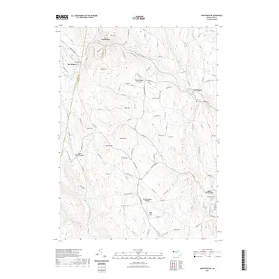
2021 Map of Worthington
USGS Topo · Published 2021About this map
The Middle Branch Westfield River and its various tributaries carve through this upland section of western Massachusetts, defining the rugged geography of Worthington Center and the surrounding villages. Settlement patterns follow the winding paths of the Westfield River and Bronson Brook, with clusters at Bryant Four Corners and West Worthington. The landscape is dominated by high ground such as Honey Hill and Bashan Hill, while the county line between Berkshire Co and Hampshire Co bisects the western reaches near East Windsor.
Find a feature on this map
131 named features on this map. Tap any name to fly to it.
Don’t see what you’re looking for? This feature index may not catch every label — zoom into the map to look around manually.
Map Details
Editions of this 2021 Worthington Map
This is the sole edition of this map. No revisions or reprints were ever made.
Other maps of this area

1886 · Greylock
USGS Topo · 1:62,500

1886 · Hawley
USGS Topo · 1:62,500

1886 · Chesterfield
USGS Topo · 1:62,500

1886 · Becket
USGS Topo · 1:62,500

1888 · Becket
USGS Topo · 1:62,500

1888 · Chesterfield
USGS Topo · 1:62,500

1890 · Hawley
USGS Topo · 1:62,500

1891 · Greylock
USGS Topo · 1:62,500

1893 · Chesterfield
USGS Topo · 1:62,500

1893 · Becket
USGS Topo · 1:62,500