Loading...
Loading map...2021 Map of Wounded Knee
USGS Topo · Published 2021About this map
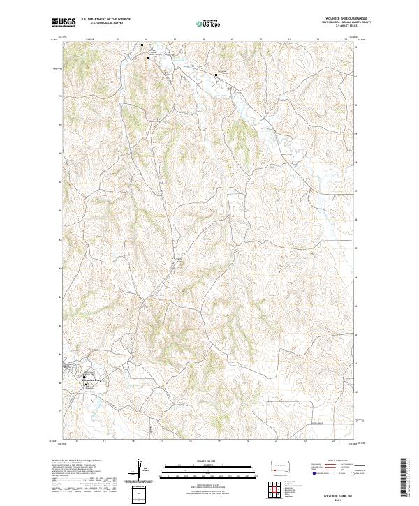
Wounded Knee and the surrounding drainage of Wounded Knee Cr define this section of the Pine Ridge Indian Reservation. The landscape is marked by several significant burial grounds and memorial sites, including the Wounded Knee Monument and the Sacred Heart Catholic Cem just south of the settlement. To the north, the terrain rises toward Porcupine Butte, a prominent landmark situated along the Big Foot Trl.
Find a feature on this map
26 named features on this map. Tap any name to fly to it.
Don’t see what you’re looking for? This feature index may not catch every label — zoom into the map to look around manually.
Map Details
Date Portrayed2021
Date Published2021
PublisherU.S. Geological Survey
Map TypeTopographic
Scale1:24000
Physical Dimensions24 x 29 inches
Editions of this 2021 Wounded Knee Map
This is the sole edition of this map. No revisions or reprints were ever made.
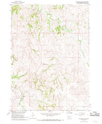
Historical Maps of Pine Ridge Through Time
Featured Locations
Source Details
SourceU.S. Geological Survey
CopyrightPublic Domain