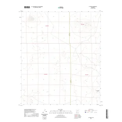
2020 Map of X-7 Ranch
USGS Topo · Published 2020About this map
San Luis Lake and the volcanic landscape of the West Potrillo Mountains define this arid stretch of the Chihuahuan Desert. Located along the border between Luna and Doña Ana counties, the map records a territory characterized by its vast cinder cones and ancient lava flows. This modern survey from the U.S. Geological Survey illustrates a sparsely populated region where the landscape is organized by township and range lines, including t25s r5w, t25s r4w, t26s r5w, and t26s r4w. The map provides a precise view of the topography surrounding the X-7 Ranch area, detailing the elevation changes across the volcanic fields and the dry lake bed that anchors the northern section of the quadrangle.
Find a feature on this map
7 named features on this map. Tap any name to fly to it.
Don’t see what you’re looking for? This feature index may not catch every label — zoom into the map to look around manually.
Map Details
Editions of this 2020 X-7 Ranch Map
This is the sole edition of this map. No revisions or reprints were ever made.
Other maps of this area

1917 · Camel Mountain
USGS Topo · 1:62,500

1917 · Mt. Riley
USGS Topo · 1:62,500

1918 · Mt. Riley
USGS Topo · 1:62,500

1929 · Mt. Riley
USGS Topo · 1:62,500

1941 · Aden
USGS Topo · 1:62,500

1943 · Aden
USGS Topo · 1:62,500

1951 · Mt. Riley
USGS Topo · 1:62,500

1953 · El Paso
USGS Topo · 1:250,000

1955 · Las Cruces
USGS Topo · 1:250,000

1958 · Las Cruces
USGS Topo · 1:250,000