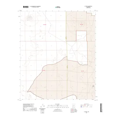
2023 Map of X-7 Ranch
USGS Topo · Published 2023About this map
San Luis Lake sits in the northwest of this Chihuahuan Desert landscape, providing a rare hydrological anchor in an otherwise arid region. The terrain is defined by the volcanic landforms of the West Potrillo Mountains, which rise across the eastern half of the map. This 2023 survey by the U.S. Geological Survey captures the remote boundary where Luna Co and Doña Ana Co meet. The area is characterized by vast stretches of open public land and sectioned ranch territories, revealing the sparse but deliberate human imprint on the New Mexico borderlands. The map serves as a contemporary record of land management and natural topography, highlighting the subtle drainage patterns and volcanic elevations that dictate movement and settlement in this part of the Southwest.
Find a feature on this map
3 named features on this map. Tap any name to fly to it.
Don’t see what you’re looking for? This feature index may not catch every label — zoom into the map to look around manually.
Map Details
Editions of this 2023 X-7 Ranch Map
This is the sole edition of this map. No revisions or reprints were ever made.
Other maps of this area

1917 · Camel Mountain
USGS Topo · 1:62,500

1917 · Mt. Riley
USGS Topo · 1:62,500

1918 · Mt. Riley
USGS Topo · 1:62,500

1929 · Mt. Riley
USGS Topo · 1:62,500

1941 · Aden
USGS Topo · 1:62,500

1943 · Aden
USGS Topo · 1:62,500

1951 · Mt. Riley
USGS Topo · 1:62,500

1953 · El Paso
USGS Topo · 1:250,000

1955 · Las Cruces
USGS Topo · 1:250,000

1958 · Las Cruces
USGS Topo · 1:250,000