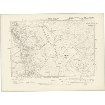
1904 Map of Yorkshire CCXLIV.NE
Ordnance Survey Six-inch · Published 1911This historical map portrays the area of Yorkshire CCXLIV.NE in 1904, primarily covering Ripponden as well as portions of Todmorden, Hebden Royd, and Long Lees. Featuring a scale of 1:10,560, this map provides a highly detailed snapshot of the terrain, roads, buildings, parishes, and historical landmarks in the Yorkshire CCXLIV.NE region at the time. Published in 1911, it is the sole known edition of this map.
Map Details
Editions of this 1904 Yorkshire CCXLIV.NE Map
This is the sole edition of this map. No revisions or reprints were ever made.
Other maps of this area
1844 · Lancashire 73
Ordnance Survey Six-inch · 1:10,560
1847 · Lancashire 81
Ordnance Survey Six-inch · 1:10,560
1848 · Yorkshire 229
Ordnance Survey Six-inch · 1:10,560
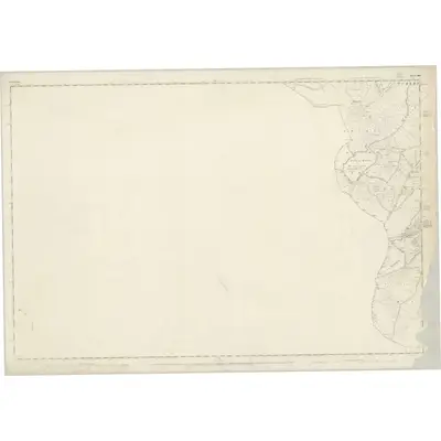
1848 · Yorkshire 244
Ordnance Survey Six-inch · 1:10,560
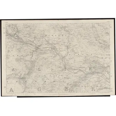
1848 · Yorkshire 230
Ordnance Survey Six-inch · 1:10,560
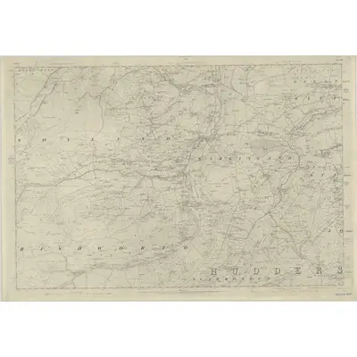
1848 · Yorkshire 245
Ordnance Survey Six-inch · 1:10,560
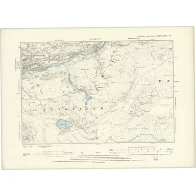
1888 · Yorkshire CCXXIX.SE
Ordnance Survey Six-inch · 1:10,560
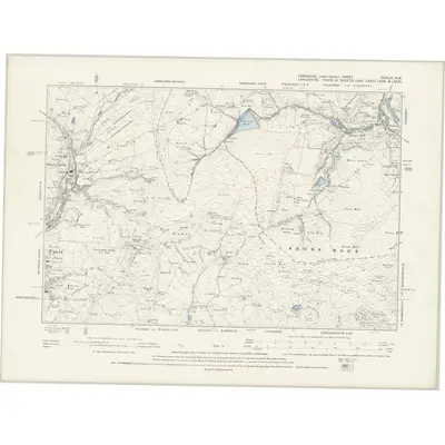
1891 · Yorkshire CCXLIV.NW
Ordnance Survey Six-inch · 1:10,560
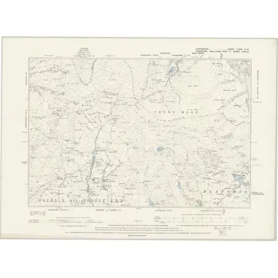
1891 · Lancashire LXXXI.NW
Ordnance Survey Six-inch · 1:10,560
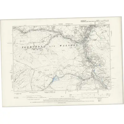
1891 · Lancashire LXXIII.SW
Ordnance Survey Six-inch · 1:10,560
Featured Places
Source Details
Reproduced with the permission of the National Library of Scotland