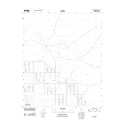
2011 Map of Yucca NE
USGS Topo · Published 2011About this map
Yucca Ford Automotive Proving Grounds occupies a significant portion of the southwestern corner of this 2011 survey, indicating the area's specialized industrial use in the early 21st century. The landscape is defined by a systematic grid of residential and utility roads including Strait Rd, Lorton Rd, and Karbon Rd, which contrast with the natural drainage patterns of Walnut Creek and Rock Creek. Water sources are critical landmarks in this arid Mohave County environment, represented by named features such as Santa Fe Spring, Rock Creek Spring, and Deadman Spring. The interplay between the rigid property boundaries and the wandering courses of Willow Creek reveals a desert territory undergoing transition, where modern infrastructure meets traditional livestock and watering sites like Corral Spring.
Find a feature on this map
59 named features on this map. Tap any name to fly to it.
Don’t see what you’re looking for? This feature index may not catch every label — zoom into the map to look around manually.
Map Details
Editions of this 2011 Yucca NE Map
This is the sole edition of this map. No revisions or reprints were ever made.
Other maps of this area

1886 · Diamond Creek
USGS Topo · 1:250,000

1886 · Camp Mohave
USGS Topo · 1:250,000

1892 · Diamond Creek
USGS Topo · 1:250,000

1892 · Camp Mohave
USGS Topo · 1:250,000

1923 · Signal
USGS Topo · 1:250,000

1927 · Yucca
USGS Topo · 1:62,500

1929 · Yucca
USGS Topo · 1:62,500

1942 · Camp Mohave
USGS Topo · 1:250,000

1942 · Signal
USGS Topo · 1:250,000

1947 · Kingman
USGS Topo · 1:250,000