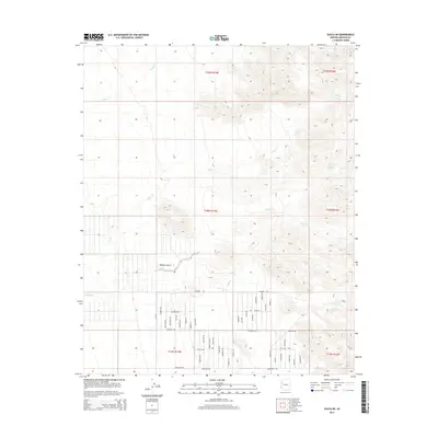
2014 Map of Yucca NE
USGS Topo · Published 2014About this map
Santa Fe Spring and Deadman Spring offer critical water sources in this arid stretch of the Mojave Desert east of Yucca. The landscape is defined by the drainage patterns of Walnut Cr, Rock Cr, and Willow Creek, which descend from the high ground into the desert basin. A dense network of local roads, such as Rainbow Rd, Desert View Rd, and Dateland Rd, reveals a modern grid of rural settlement south of the primary washes. The proximity of Corral Spring and Rock Creek Spring further illustrates how essential these natural seeps were for historical land use and early ranching before the development of modern infrastructure. This 2014 survey documents the continued use of these ancient springs alongside a contemporary road system, bridging the gap between old desert trails and current habitation.
Find a feature on this map
53 named features on this map. Tap any name to fly to it.
Don’t see what you’re looking for? This feature index may not catch every label — zoom into the map to look around manually.
Map Details
Editions of this 2014 Yucca NE Map
This is the sole edition of this map. No revisions or reprints were ever made.
Other maps of this area

1886 · Diamond Creek
USGS Topo · 1:250,000

1886 · Camp Mohave
USGS Topo · 1:250,000

1892 · Diamond Creek
USGS Topo · 1:250,000

1892 · Camp Mohave
USGS Topo · 1:250,000

1923 · Signal
USGS Topo · 1:250,000

1927 · Yucca
USGS Topo · 1:62,500

1929 · Yucca
USGS Topo · 1:62,500

1942 · Camp Mohave
USGS Topo · 1:250,000

1942 · Signal
USGS Topo · 1:250,000

1947 · Kingman
USGS Topo · 1:250,000