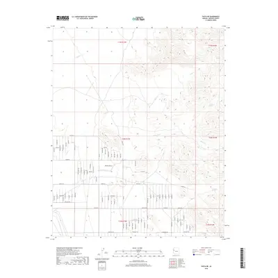
2018 Map of Yucca NE
USGS Topo · Published 2018About this map
The Mojave Desert terrain of Mohave County defines this landscape, where seasonal water sources dictate the historic pattern of travel and settlement. Numerous reliable watering points such as Santa Fe Spring, Rock Creek Spring, Corral Spring, and Deadman Spring are distributed throughout the eastern hills, likely serving as vital landmarks for early ranchers and travelers. The drainage systems of Walnut Cr and Willow Creek carve through the arid environment, forming natural corridors across the high desert. In the more level western sections, a dense grid of modern roads has emerged, including Aripine Rd, Arizola Rd, and Cactus Rd. This 2018 survey reveals a landscape in transition, where the ancient necessity of desert springs meets the sprawling residential infrastructure of contemporary Arizona.
Find a feature on this map
81 named features on this map. Tap any name to fly to it.
Don’t see what you’re looking for? This feature index may not catch every label — zoom into the map to look around manually.
Map Details
Editions of this 2018 Yucca NE Map
This is the sole edition of this map. No revisions or reprints were ever made.
Other maps of this area

1886 · Diamond Creek
USGS Topo · 1:250,000

1886 · Camp Mohave
USGS Topo · 1:250,000

1892 · Diamond Creek
USGS Topo · 1:250,000

1892 · Camp Mohave
USGS Topo · 1:250,000

1923 · Signal
USGS Topo · 1:250,000

1927 · Yucca
USGS Topo · 1:62,500

1929 · Yucca
USGS Topo · 1:62,500

1942 · Camp Mohave
USGS Topo · 1:250,000

1942 · Signal
USGS Topo · 1:250,000

1947 · Kingman
USGS Topo · 1:250,000