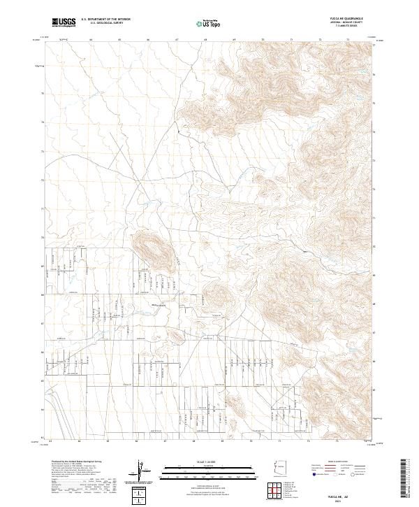
2021 Map of Yucca NE
USGS Topo · Published 2021About this map
The Mojave Desert landscape of Mohave County dominates this survey, where seasonal water sources and a structured grid of rural roads define the territory. High-elevation springs such as Santa Fe Spring, Rock Creek Spring, and Corral Spring are critical landmarks among the shifting contours of the mountain slopes to the east. These perennial or intermittent points provided vital water in an arid environment, likely serving early ranching interests and local wildlife.
Find a feature on this map
79 named features on this map. Tap any name to fly to it.
Don’t see what you’re looking for? This feature index may not catch every label — zoom into the map to look around manually.
Map Details
Editions of this 2021 Yucca NE Map
This is the sole edition of this map. No revisions or reprints were ever made.
Other maps of this area

1886 · Diamond Creek
USGS Topo · 1:250,000

1886 · Camp Mohave
USGS Topo · 1:250,000

1892 · Diamond Creek
USGS Topo · 1:250,000

1892 · Camp Mohave
USGS Topo · 1:250,000

1923 · Signal
USGS Topo · 1:250,000

1927 · Yucca
USGS Topo · 1:62,500

1929 · Yucca
USGS Topo · 1:62,500

1942 · Camp Mohave
USGS Topo · 1:250,000

1942 · Signal
USGS Topo · 1:250,000

1947 · Kingman
USGS Topo · 1:250,000