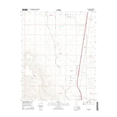
2014 Map of Yucca NW
USGS Topo · Published 2014About this map
The Black Mountains rise sharply in the southwest, casting long shadows across the Mojave Desert floor. This arid landscape is defined by the broad drainage of the Sacramento Wash and its tributaries, including Black Rock Wash and Walnut Cr, which carve through the Sacramento Valley. Human settlement is concentrated along the transport corridor on the eastern edge of the quadrangle, where the community of Yucca and the railway siding at Athos provide rare points of habitation in the brushland.
Find a feature on this map
29 named features on this map. Tap any name to fly to it.
Don’t see what you’re looking for? This feature index may not catch every label — zoom into the map to look around manually.
Map Details
Editions of this 2014 Yucca NW Map
This is the sole edition of this map. No revisions or reprints were ever made.
Other maps of this area

1886 · Camp Mohave
USGS Topo · 1:250,000

1892 · Camp Mohave
USGS Topo · 1:250,000

1903 · Needles
USGS Topo · 1:125,000

1904 · Needles Special
USGS Topo · 1:125,000

1927 · Yucca
USGS Topo · 1:62,500

1929 · Yucca
USGS Topo · 1:62,500

1942 · Camp Mohave
USGS Topo · 1:250,000

1947 · Kingman
USGS Topo · 1:250,000

1948 · Kingman
USGS Topo · 1:250,000

1954 · Needles
USGS Topo · 1:250,000