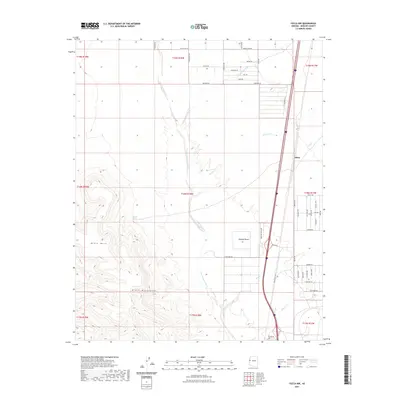
2021 Map of Yucca NW
USGS Topo · Published 2021About this map
Sacramento Wash defines the drainage pattern of this high desert terrain, flowing south through the center of the sheet toward the Mojave Desert. The topography is dominated by the dramatic rise of Black Mesa and the northern reaches of the Black Mountains to the west, providing a sharp contrast to the alluvial plains where Rock Creek and Walnut Cr meet the primary wash. The northeastern corner contains the settlement of Athos along a major transportation corridor that parallels several local routes, including the appropriately named Old Trails Rd.
Find a feature on this map
39 named features on this map. Tap any name to fly to it.
Don’t see what you’re looking for? This feature index may not catch every label — zoom into the map to look around manually.
Map Details
Editions of this 2021 Yucca NW Map
This is the sole edition of this map. No revisions or reprints were ever made.
Other maps of this area

1886 · Camp Mohave
USGS Topo · 1:250,000

1892 · Camp Mohave
USGS Topo · 1:250,000

1903 · Needles
USGS Topo · 1:125,000

1904 · Needles Special
USGS Topo · 1:125,000

1927 · Yucca
USGS Topo · 1:62,500

1929 · Yucca
USGS Topo · 1:62,500

1942 · Camp Mohave
USGS Topo · 1:250,000

1947 · Kingman
USGS Topo · 1:250,000

1948 · Kingman
USGS Topo · 1:250,000

1954 · Needles
USGS Topo · 1:250,000