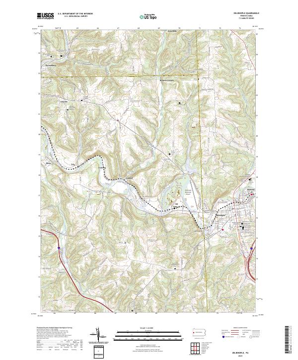
2023 Map of Zelienople
USGS Topo · Published 2023About this map
Zelienople and Harmony anchor this portrait of Butler County, where the meandering Connoquenessing Creek carves through the landscape. The region is defined by a dense network of family and community landmarks, particularly evident in the numerous religious and burial sites that dot the hillsides. From the Holy Transfiguration Monastery in the northwest to the Mennonite Meeting House near the eastern border, the map preserves a detailed record of the area's spiritual geography.
Find a feature on this map
154 named features on this map. Tap any name to fly to it.
Don’t see what you’re looking for? This feature index may not catch every label — zoom into the map to look around manually.
Map Details
Editions of this 2023 Zelienople Map
This is the sole edition of this map. No revisions or reprints were ever made.
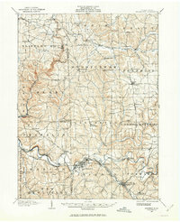
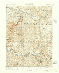
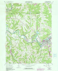
Historical Maps of Daugherty Township Through Time
4 maps found