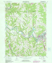
1958 Map of Zelienople
USGS Topo · Published 1990About this map
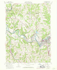
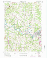
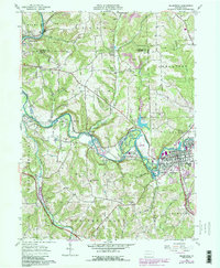
The Connoquenessing Creek snakes through a landscape defined by industry and community during the late 1950s. The dense residential and commercial cores of Zelienople and Harmony dominate the eastern reaches, where the Baltimore and Ohio railroad corridor tracks parallel to the water. The surrounding townships, including Marion and Lancaster, reveal a transition toward industrial extraction, marked by numerous strip mines, a mine tipple, and several inactive quarries.
Find a feature on this map
52 named features on this map. Tap any name to fly to it.
Don’t see what you’re looking for? This feature index may not catch every label — zoom into the map to look around manually.
Map Details
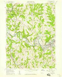
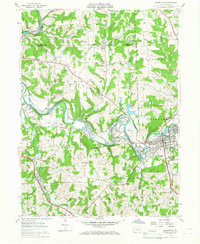
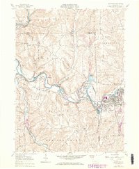
Editions of this 1958 Zelienople Map
7 editions found
Other maps of this area

1901 · Beaver
USGS Topo · 1:62,500

1902 · New Castle
USGS Topo · 1:62,500

1904 · Newcastle
USGS Topo · 1:62,500

1904 · Beaver
USGS Topo · 1:62,500

1906 · Sewickley
USGS Topo · 1:62,500

1908 · Sewickley
USGS Topo · 1:62,500

1908 · Zelienople
USGS Topo · 1:62,500

1910 · Zelienople
USGS Topo · 1:62,500

1951 · Canton
USGS Topo · 1:250,000

1953 · Canton
USGS Topo · 1:250,000