Loading...
Loading map...2022 Map of Zurich
USGS Topo · Published 2022About this map
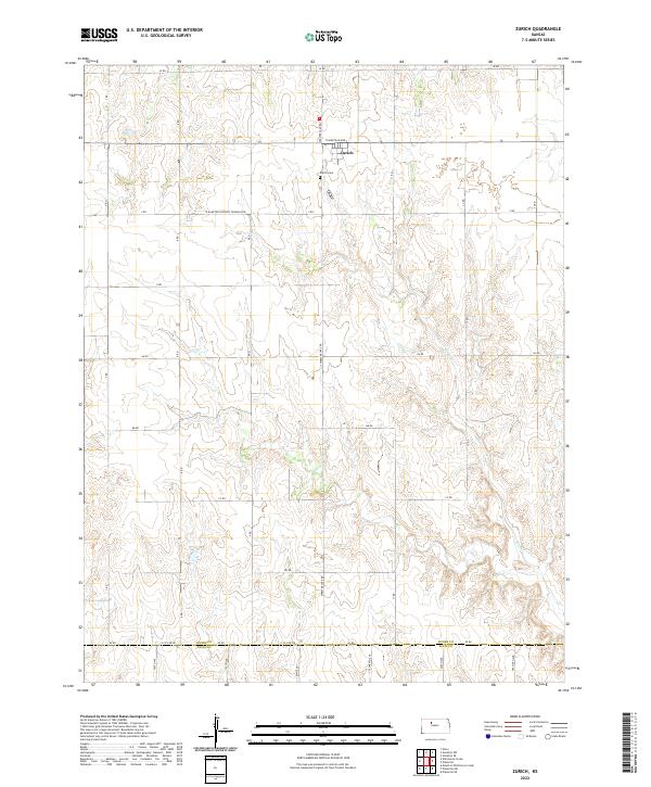
Zurich stands as the primary community in this rural section of Kansas, situated at the junction of Plainville Ave and Webster Lake RD. The landscape is defined by the high plains of the t9s r19w township, where the terrain is marked by a grid of section-line roads and the winding path of Sand Cr in the southeastern portion of the quadrangle. Local history is anchored at the Zurich Cem, located just south of the main settlement.
Find a feature on this map
36 named features on this map. Tap any name to fly to it.
Don’t see what you’re looking for? This feature index may not catch every label — zoom into the map to look around manually.
Map Details
Date Portrayed2022
Date Published2022
PublisherU.S. Geological Survey
Map TypeTopographic
Scale1:24000
Physical Dimensions24 x 29 inches
Editions of this 2022 Zurich Map
This is the sole edition of this map. No revisions or reprints were ever made.
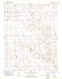
Historical Maps of Zurich Through Time
Featured Locations
Source Details
SourceU.S. Geological Survey
CopyrightPublic Domain