Old Maps of Acueducto, Adjuntas for Academic Research
Study the evolution of Acueducto with 7 high-resolution historic maps. Whether you're teaching, researching, or modeling changes in land use, these maps provide essential visual documentation of urban, environmental, and geographic change.
- Analyze long-term change: Track patterns in development, transportation, and natural features.
- Ideal for environmental or urban studies: Support academic projects with primary historical map data.
- Use in the classroom or lab: Educators and researchers rely on these maps to bring historical context to life.
These maps are a powerful tool for teaching, research, and visualizing how Acueducto has changed over the decades.
Acueducto, Adjuntas maps
(7)- 1946 Map of Adjuntas
 1946 Adjuntas1946 Print · USGSAdjuntas and the surrounding central highlands are captured here in the mid-forties, showing a landscape defined by coffee and sugar estates. Researchers can trace the heritage of specific estates like Hacienda Jauca and Hacienda El Progreso or locate mountain landmarks such as Cerro El Gigante.2 unique versions available
 - 1947 Map of Adjuntas SO
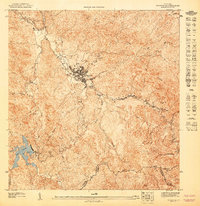 1947 Adjuntas SO1947 Print · USGSThe mountain town of Adjuntas and the high peaks of the Cordillera Central are shown here in the late 1940s. Genealogists and historians can trace old property lines along the Río Grande de Arecibo or locate landmarks like the Adjuntas Chimney and Lago Garzas.
 - 1952 Map of Adjuntas, 1953 Print
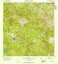 1952 Adjuntas1953 Print · USGSThe mountain municipality of Adjuntas is shown in the mid-fifties amidst its traditional agricultural barrios and coffee-growing haciendas. Genealogists and historians can locate specific family-named estates like Hacienda Artau and Hacienda El Progreso or old parish centers like Iglesia de San Patricio.2 unique versions available
 - 1960 Map of Adjuntas, 1962 Print
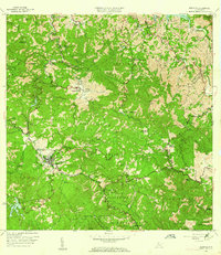 1960 Adjuntas1962 Print · USGSThe high mountain terrain of the Cordillera Central comes to life in the early 1960s, showing the intersection of coffee estate history and modern hydraulic engineering. Genealogists and historians can locate numerous family estates like Hacienda Tres Hermanas and community centers such as Iglesia de San Patricio.4 unique versions available
 - 2013 Map of Adjuntas, 2013 Print
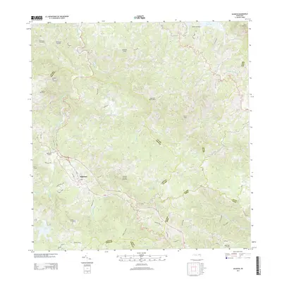 2013 Adjuntas2013 Print · USGSThe central mountains of Puerto Rico come into focus here, showing the town of Adjuntas and its surrounding peaks. Genealogists and researchers can trace local family landmarks and waterways such as Cerro El Gigante, Lago Garzas, and the winding Rio Vivi.
 - 2018 Map of Adjuntas, 2018 Print
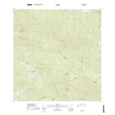 2018 Adjuntas2018 Print · USGSThe mountain town of Adjuntas and its surrounding peaks are captured here in the early twenty-first century. Genealogists and local historians can trace family-named roads like Cam Vicente Rios and locate the Cementerio Municipal de Adjuntas near the Rio Saltillo.
 - 2024 Map of Adjuntas, 2024 Print
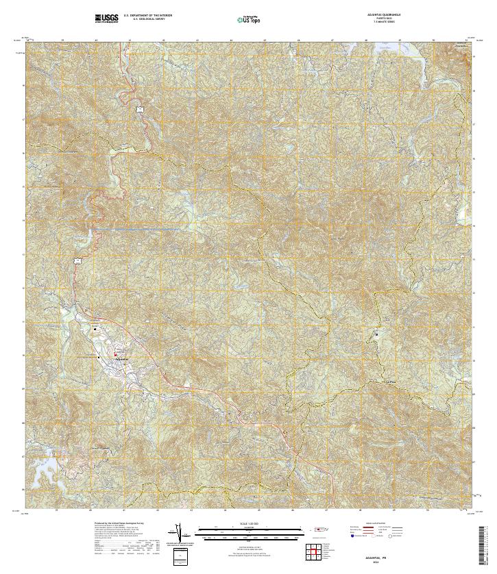 2024 Adjuntas2024 Print · USGSThe mountain town of Adjuntas is shown in the mid-2020s, highlighting the complex network of river valleys and reservoirs. Genealogists can trace family names through landmarks like Cementerio Remanso De Paz and local routes like Cam Lopez.
End of results
Showing maps 1-7 of 7
Frequently asked questions
- What are the different types of historical maps available for Acueducto?
- What is the oldest map of Acueducto?
- Where can I purchase historical maps of Acueducto for my home or office?
- Where can I download high-res historical maps of Acueducto?
- Are there historical topographic maps available for Acueducto?
- Is there historical aerial imagery available for Acueducto?
- Where are historical maps of Acueducto sourced from?