Old Maps of Sonadora, Aguas Buenas
Explore 19 old maps of Sonadora, spanning from 1946 to today. These high-resolution historic maps reveal how streets, neighborhoods, landmarks, and natural features evolved over time — perfect for genealogy, metal detecting, research, and local history exploration.
What you can do with these maps:
- See how Sonadora changed over time: Compare historical maps to modern-day views to trace roads, homesites, rail lines & more.
- View detailed metadata: Each map includes creators, publishers, year, scale, and archive source.
- Overlay maps with satellite & LiDAR: Visualize the past alongside modern tools to explore terrain & human change.
- Trusted historical sources: Maps sourced from the USGS, Library of Congress, and other archives.
- Access maps your way: View online, download high-res files, or order prints for personal or research use.
Start exploring old maps of Sonadora to uncover forgotten places, hidden landmarks, and the deep history beneath your feet.
Sonadora, Aguas Buenas maps
(19)- 1946 Map of Aguas Buenas
 1946 Aguas Buenas1946 Print · USGSAguas Buenas and the surrounding central highlands appear here in the mid-forties, showing the intricate network of mountain roads and rural settlements. Genealogists and historians can locate specific landmarks like the Leprocomio, Pueblo Seco, and several local Escuela Segunda Unidad schools.3 unique versions available
 - 1946 Map of Naranjito
 1946 Naranjito1946 Print · USGSNaranjito and the surrounding mountains of central Puerto Rico appear in the mid-1940s as a landscape of agricultural colonias and emerging utilities. Researchers can locate numerous rural chapels like the Iglesia Guadiana and trace the path of the Acueducto de San Juan through the hills.3 unique versions available
 - 1947 Map of Naranjito SE
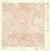 1947 Naranjito SE1947 Print · USGSThe rural interior of Puerto Rico comes into focus during the late 1940s, showing a landscape defined by sharp ridges and winding river valleys. Genealogists and researchers can trace local congregations and infrastructure including the Iglesia Juan Ascencio and the Acueducto de San Juan.
 - 1947 Map of Aguas Buenas SO
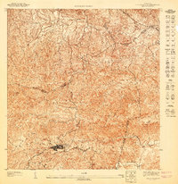 1947 Aguas Buenas SO1947 Print · USGSAguas Buenas and the surrounding highlands are captured here in the late 1940s, showing the town and its rural outskirts before modern development. Genealogists and hikers can trace old routes near La Changa or follow the waters of Rio Bairoa and Rio Caguitas.
 - 1952 Map of Aguas Buenas, 1953 Print
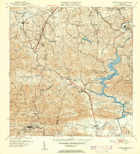 1952 Aguas Buenas1953 Print · USGSAguas Buenas and the surrounding central highlands of Puerto Rico are mapped here during a period of steady mid-century growth. Researchers can trace family sites near Barrio Bairoa or locate community centers like the Escuela Luis Santella and Leprocomio.2 unique versions available
 - 1952 Map of Naranjito, 1953 Print
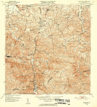 1952 Naranjito1953 Print · USGSNaranjito and the central highlands are captured here in the early fifties, showing a landscape of traditional agricultural colonias and developing barrios. Genealogists can locate specific family landmarks and local institutions like Iglesia de Minillas, Escuela Don Manolo, and the Represa de Comerio.2 unique versions available
 - 1955 Map of Aguas Buenas, 1956 Print
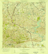 1955 Aguas Buenas1956 Print · USGSThe area surrounding Aguas Buenas is captured in the mid-fifties, showing the region before the extensive growth of the San Juan metro. Genealogists can trace family footprints through historic barrios like CAIMITO and CUPEL or locate old school sites like Escuela Segunda Unidad de Río Cañas.
 - 1957 Map of Aguas Buenas, 1959 Print
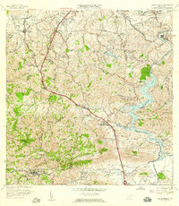 1957 Aguas Buenas1959 Print · USGSAguas Buenas and the surrounding highlands are captured in the late fifties as the region's hydroelectric and communications infrastructure expanded. Researchers can trace family-named barrios and landmarks like Saint Just, Escuela Daniel Diaz, and the Leprosomio near the banks of Lago Loiza.
 - 1957 Map of Naranjito, 1959 Print
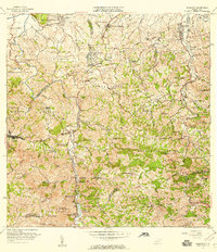 1957 Naranjito1959 Print · USGSNaranjito and the central highlands of Puerto Rico appear in detail during the late 1950s, showing a landscape defined by sharp ridges and deep river valleys. Researchers can trace rural life through landmarks like Iglesia de la Monserrate and the Represa de San Juan reservoir.
 - 1963 Map of Naranjito, 1965 Print
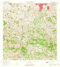 1963 Naranjito1965 Print · USGSNaranjito and the Puerto Rican interior are shown here during a period of rapid development in the 1960s. Researchers can trace rural school locations like Escuela Dajaos Sexto or explore the early power network at Planta Hidroeléctrica Comerío No 2.
 - 1964 Map of Aguas Buenas, 1966 Print
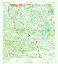 1964 Aguas Buenas1966 Print · USGSIn the mid-1960s, the hills south of San Juan were transitioning from rural barrios to suburban communities. Researchers can trace family roots at Cementerio Municipal or locate historic schools such as Escuela Luis Santaella and Escuela Jose de Diego.
 - 1969 Map of Naranjito, 1972 Print
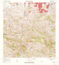 1969 Naranjito1972 Print · USGSThe Naranjito and Bayamón regions undergo significant growth in the late sixties as residential developments meet industrial river infrastructure. Researchers can trace the development of Royal Town or locate the Planta Hidroeléctrica Comerio Num 1 and Escuela Miguel Cervantes Saavedra.3 unique versions available
 - 1969 Map of Aguas Buenas, 1972 Print
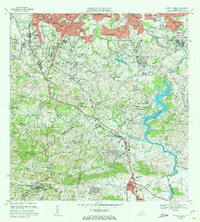 1969 Aguas Buenas1972 Print · USGSThe foothills south of San Juan come alive in this late sixties survey as suburban growth reaches into the hills of Aguas Buenas. Genealogists and historians can trace the foundations of local life through the Leprocomio, the Antilles Military Academy, and dozens of rural schools like Escuela Jagueyes Abajo.4 unique versions available
 - 2013 Map of Aguas Buenas, 2013 Print
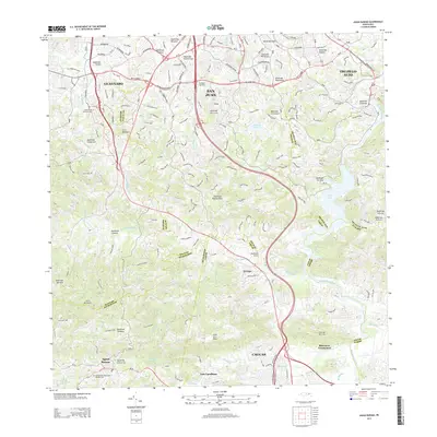 2013 Aguas Buenas2013 Print · USGSPuerto Rico's interior highlands and the southern suburbs of San Juan are documented here in 2013. Local researchers can trace family landmarks and cemeteries from Aguas Buenas to Las Carolinas and the waters of Lago Loiza.
 - 2013 Map of Naranjito, 2013 Print
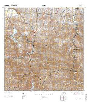 2013 Naranjito2013 Print · USGSCovers Sonadora, including Naranjito, Villas del Olimpo, and other nearby areas
 - 2018 Map of Naranjito, 2018 Print
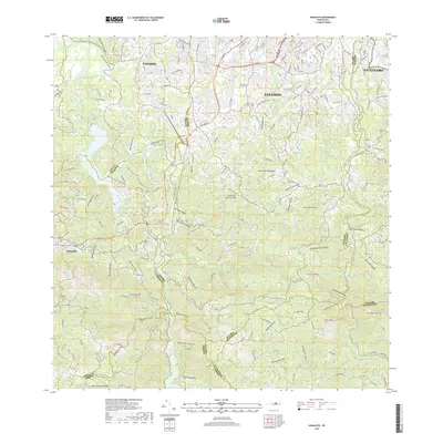 2018 Naranjito2018 Print · USGSThe northern hills of Puerto Rico are mapped here during a period of modern development and complex terrain. Researchers can trace the winding paths of the Rio de la Plata and the Rio de Bayamón past landmarks like Cementerio Los Cipreses and Cerro Mula.
 - 2018 Map of Aguas Buenas, 2018 Print
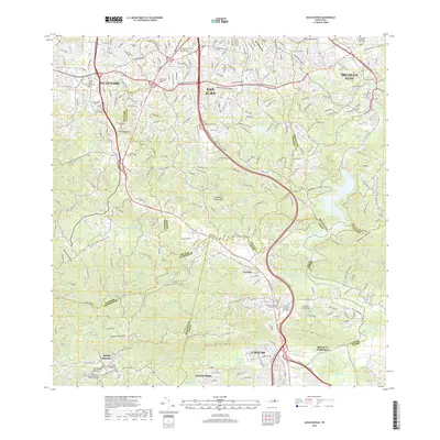 2018 Aguas Buenas2018 Print · USGSThe northern mountains of Puerto Rico meet the outskirts of the capital in the late 2010s. Researchers can trace suburban development around Aguas Buenas and Caguas, alongside prominent landmarks like the Interamerican University and El Señorial Memorial Park.
 - 2024 Map of Aguas Buenas, 2024 Print
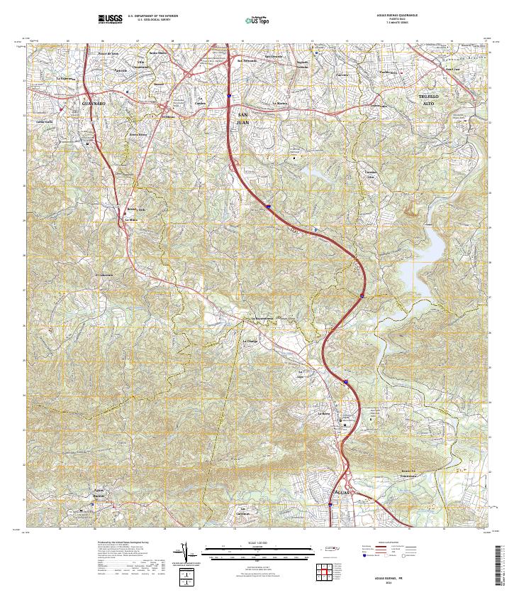 2024 Aguas Buenas2024 Print · USGSAguas Buenas and the southern San Juan suburbs appear here in modern detail, where dense urban development meets the high ridges. Genealogists can locate family sites like the Cementerio Municipal de Aguas Buenas Número Uno and Leprocomio.
 - 2024 Map of Naranjito, 2024 Print
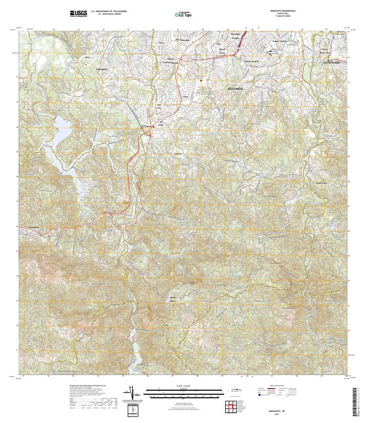 2024 Naranjito2024 Print · USGSThe interior hills of northern Puerto Rico come into focus here, showing the dense network of barrios and waterways as they appear today. Researchers can locate local landmarks like Cementerio Los Cipreses, the Universidad Central del Caribe, and the sprawling residential areas of Santa Juanita.
End of results
Showing maps 1-19 of 19
Frequently asked questions
- What are the different types of historical maps available for Sonadora?
- What is the oldest map of Sonadora?
- Where can I purchase historical maps of Sonadora for my home or office?
- Where can I download high-res historical maps of Sonadora?
- Are there historical topographic maps available for Sonadora?
- Is there historical aerial imagery available for Sonadora?
- Where are historical maps of Sonadora sourced from?