
1946 Map of Aguas Buenas
USGS Topo · Published 1946About this map
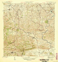
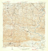
Aguas Buenas sits at the heart of this mid-century interior survey, showing the complex social and topographic geography of central Puerto Rico. The landscape is defined by the sharp transition from the valley floor of the Río Grande de Loíza near Trujillo Alto to the high ridges of Altos de Mesa and Cerro Marquesa. Several specialized social institutions are mapped, including the Leprocomio and several consolidated rural schools such as the Escuela Segunda Unidad de Calmito and Escuela Segunda Unidad de Río Cañas, which reflect the era's focus on rural development and public health.
Find a feature on this map
46 named features on this map. Tap any name to fly to it.
Don’t see what you’re looking for? This feature index may not catch every label — zoom into the map to look around manually.
Map Details
Editions of this 1946 Aguas Buenas Map
3 editions found
Other maps of this area

1940 · Carolina
USGS Topo · 1:30,000

1941 · Bayamon
USGS Topo · 1:30,000

1941 · San Juan
USGS Topo · 1:30,000

1941 · Carolina
USGS Topo · 1:30,000

1946 · Comerio
USGS Topo · 1:30,000

1946 · Naranjito
USGS Topo · 1:30,000

1946 · Gurabo
USGS Topo · 1:30,000

1946 · Juncos
USGS Topo · 1:30,000

1946 · Caguas
USGS Topo · 1:30,000
1947 · Caguas NE
USGS Topo · 1:10,000