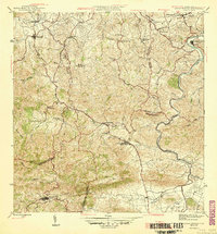
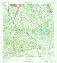
1946 Map of Aguas Buenas
USGS Topo · Published 1946About this map
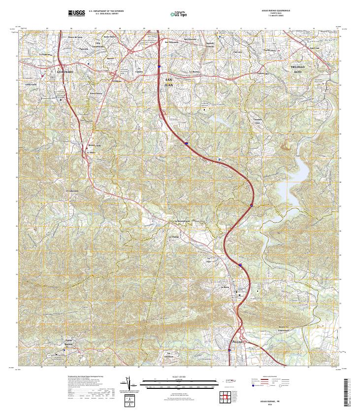
Aguas Buenas serves as the southern anchor of this 1940s landscape, which transitions from the urbanizing outskirts of Guaynabo and Trujillo Alto into the steep interior terrain of the Cerro Marquesa. The map documents a pivotal era of educational development in Puerto Rico, noting the locations of several consolidated rural schools such as the Escuela Segunda Unidad de Caimito and Escuela Segunda Unidad de Cupey. These institutions represent a shift in the island's social infrastructure during the mid-century.
Find a feature on this map
43 named features on this map. Tap any name to fly to it.
Don’t see what you’re looking for? This feature index may not catch every label — zoom into the map to look around manually.
Map Details
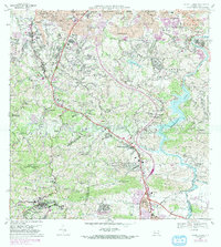
Editions of this 1946 Aguas Buenas Map
3 editions found

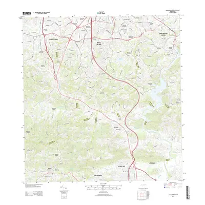
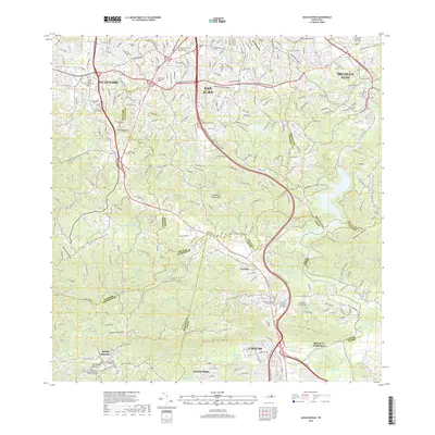
Historical Maps of Guaynabo Through Time
9 maps found
1946 Aguas Buenas
Aguas Buenas Municipio, PR

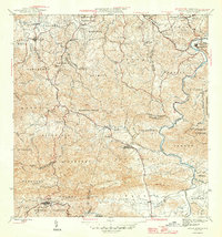
1952 Aguas Buenas
Aguas Buenas Municipio, PR
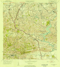
1955 Aguas Buenas
Aguas Buenas Municipio, PR
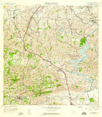
1957 Aguas Buenas
Aguas Buenas Municipio, PR
1964 Aguas Buenas
Aguas Buenas Municipio, PR
1969 Aguas Buenas
Aguas Buenas Municipio, PR
2013 Aguas Buenas
Aguas Buenas Municipio, PR
2018 Aguas Buenas
Aguas Buenas Municipio, PR
2024 Aguas Buenas
Aguas Buenas Municipio, PR
Featured Locations
- Guaynabo, Guaynabo
- Sector Pizarro, Guaynabo
- Sector Pueblo Santo, Guaynabo
- Trujillo Alto, Trujillo Alto
- Aguas Buenas, Aguas Buenas