
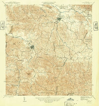
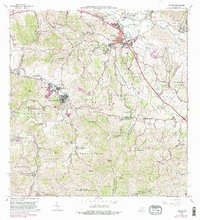
1946 Map of Juncos
USGS Topo · Published 1946About this map
The town of Juncos and the municipality of San Lorenzo serve as the primary hubs in this mid-1940s survey of eastern Puerto Rico. The landscape is defined by the winding course of the Rio Grande de Loiza and the Rio Gurabo, which meet near the agricultural lands of Eastern Sugar Associates. This period captures the region's rural character, characterized by numerous small mountain streams like Quebrada Valenciano and Quebrada Honda carving through the interior hills. Significant local landmarks include the Escuela Segunda Unidad de Quebrada Honda and the high peaks of Cerro Santa Ana and Cerro Viviana. To the northeast, the rugged terrain transitions into the protected area of the Caribbean National Forest, while smaller settlements like Cantagallo and El Mango dot the river valleys.
Find a feature on this map
29 named features on this map. Tap any name to fly to it.
Don’t see what you’re looking for? This feature index may not catch every label — zoom into the map to look around manually.
Map Details
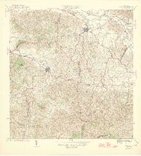
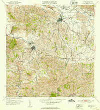
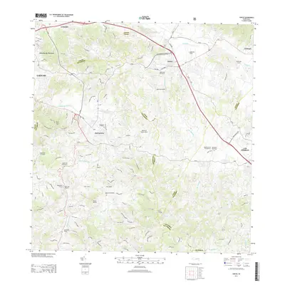
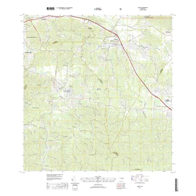
Editions of this 1946 Juncos Map
3 editions found
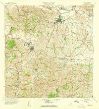
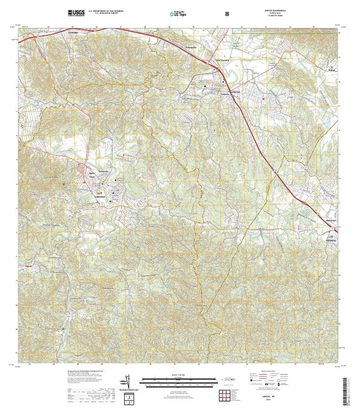
Historical Maps of San Lorenzo Through Time
7 maps found
Featured Locations
- Juncos, Juncos
- Sector Los Bruseles, San Lorenzo
- San Lorenzo, San Lorenzo
- Estancias del Prado, Las Piedras
- Sector Carmita Torres, Las Piedras