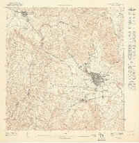
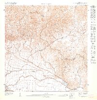
1947 Map of Humacao SO
USGS Topo · Published 1947About this map
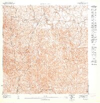
Central Ejemplo anchors the sugar-producing economy of this region during the 1940s, situated just south of the main Humacao urban center. The landscape is defined by the winding course of the Río Humacao and its tributaries, which supported a network of agricultural estates like Colonia Cometa and Colonia Electra. Industrial and municipal infrastructure of the era is evident in the Humacao Water Works and the extensive Ferrocarriles rail lines that served the valley's mills.
Find a feature on this map
18 named features on this map. Tap any name to fly to it.
Don’t see what you’re looking for? This feature index may not catch every label — zoom into the map to look around manually.
Map Details
Editions of this 1947 Humacao SO Map
This is the sole edition of this map. No revisions or reprints were ever made.
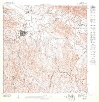
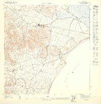
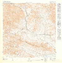
Other maps of this area
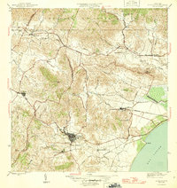
1946 · Humacao
USGS Topo · 1:30,000
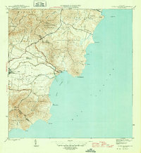
1946 · Punta Guayanes
USGS Topo · 1:30,000

1946 · Juncos
USGS Topo · 1:30,000

1946 · Yabucoa
USGS Topo · 1:30,000
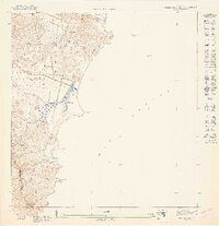
1947 · Punta Guayanes NE
USGS Topo · 1:10,000
1947 · Punta Guayanes NO
USGS Topo · 1:10,000
1947 · Juncos NE
USGS Topo · 1:10,000
1947 · Humacao SE
USGS Topo · 1:10,000
1947 · Humacao NE
USGS Topo · 1:10,000
1947 · Juncos SE
USGS Topo · 1:10,000
Featured Places
- Humacao, Humacao
- Las Piedras, Las Piedras
- Sector Los Tolentinos, Las Piedras
- Sector Gaspar F. Meléndez, Las Piedras
- Sector Geño López, Las Piedras