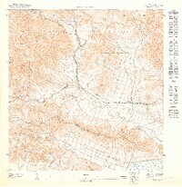
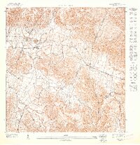
1947 Map of Humacao NE
USGS Topo · Published 1947About this map
Industrial and agricultural development defines this portion of eastern Puerto Rico in the late 1940s. The Planta Hidroelectrica de Rio Blanco stands as a significant landmark, drawing power from the rugged terrain where the Caribbean National Forest meets the valley. Below the forested peaks of Cerro Cuchilla, the landscape transitions into a network of agricultural colonies including Colonia San Eladio and Colonia La Fe.
Find a feature on this map
21 named features on this map. Tap any name to fly to it.
Don’t see what you’re looking for? This feature index may not catch every label — zoom into the map to look around manually.
Map Details
Editions of this 1947 Humacao NE Map
This is the sole edition of this map. No revisions or reprints were ever made.
Other maps of this area

1945 · El Yunque
USGS Topo · 1:30,000

1946 · El Yunque
USGS Topo · 1:30,000

1946 · Humacao
USGS Topo · 1:30,000

1946 · Naguabo
USGS Topo · 1:30,000
1947 · Humacao SO
USGS Topo · 1:10,000
1947 · El Yunque SO
USGS Topo · 1:10,000
1947 · Humacao SE
USGS Topo · 1:10,000

1947 · El Yunque SE
USGS Topo · 1:10,000
1947 · Humacao NO
USGS Topo · 1:10,000
1952 · Humacao
USGS Topo · 1:30,000