
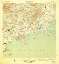
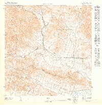
1946 Map of Naguabo
USGS Topo · Published 1946About this map
The coastal economy of eastern Puerto Rico is documented in this 1946 survey, centered on the agricultural and maritime hubs between Ceiba and Naguabo. The landscape is dominated by the sugar industry's infrastructure, specifically the numerous labor and processing settlements like Colonia San Cristóbal, Colonia Esperanza, and Colonia San Luis. These colonias are linked by the Ferrocarril del Este and the extensive tracks of the Fajardo Development Co, illustrating a highly organized plantation system.
Find a feature on this map
57 named features on this map. Tap any name to fly to it.
Don’t see what you’re looking for? This feature index may not catch every label — zoom into the map to look around manually.
Map Details
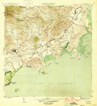
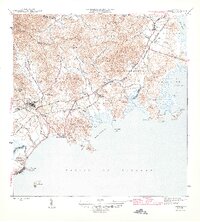
Editions of this 1946 Naguabo Map
4 editions found
Other maps of this area

1945 · El Yunque
USGS Topo · 1:30,000

1946 · El Yunque
USGS Topo · 1:30,000

1946 · Humacao
USGS Topo · 1:30,000

1946 · Punta Puerca
USGS Topo · 1:30,000

1946 · Fajardo
USGS Topo · 1:30,000
1947 · Humacao SE
USGS Topo · 1:10,000

1947 · El Yunque SE
USGS Topo · 1:10,000
1947 · Humacao NE
USGS Topo · 1:10,000

1947 · Naguabo NE
USGS Topo · 1:10,000
1952 · Humacao
USGS Topo · 1:30,000