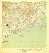
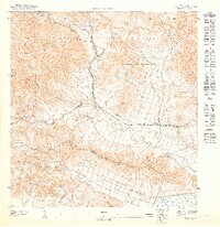
1946 Map of Naguabo
USGS Topo · Published 1946About this map
Agricultural colonies and sugar cane land-holdings dominate the coastal foothills of eastern Puerto Rico in this mid-1940s survey. The landscape is defined by the intersection of the Ferrocarriles rail lines and various colonial estates such as Colonia Aguas Claras, Colonia El Banco, and Colonia Esperanza. These holdings, along with Hacienda Grande, reflect the economic structure of the region before the shift toward more modern industrialization.
Find a feature on this map
47 named features on this map. Tap any name to fly to it.
Don’t see what you’re looking for? This feature index may not catch every label — zoom into the map to look around manually.
Map Details
Editions of this 1946 Naguabo Map
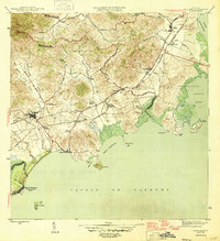
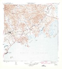
4 editions found
Other maps of this area

1945 · El Yunque
USGS Topo · 1:30,000

1946 · El Yunque
USGS Topo · 1:30,000

1946 · Humacao
USGS Topo · 1:30,000

1946 · Punta Puerca
USGS Topo · 1:30,000

1946 · Naguabo
USGS Topo · 1:30,000

1946 · Fajardo
USGS Topo · 1:30,000
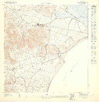
1947 · Humacao SE
USGS Topo · 1:10,000

1947 · El Yunque SE
USGS Topo · 1:10,000
1947 · Humacao NE
USGS Topo · 1:10,000

1947 · Naguabo NE
USGS Topo · 1:10,000