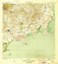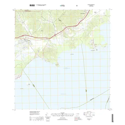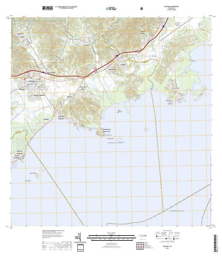
1952 Map of Naguabo
USGS Topo · Published 1953About this map
Sugar production and coastal defense define this early 1950s landscape on the eastern shore of Puerto Rico. The town of Naguabo serves as a hub for the surrounding agricultural colonias, including Colonia San Cristobal and Colonia Esperanza. The movement of sugar cane is marked by the presence of the Ferrocarriles Del Este railway, which snakes through the lowlands past the Estación Naguabo and Estación Botija. Along the coast, the proximity to the Vieques Passage is reflected in the large Naval Reservation and Military Reservation, where Fort Bundy overlooks the Bahía Algodones.
Find a feature on this map
65 named features on this map. Tap any name to fly to it.
Don’t see what you’re looking for? This feature index may not catch every label — zoom into the map to look around manually.
Map Details
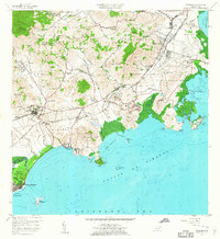
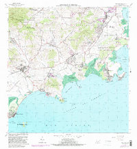
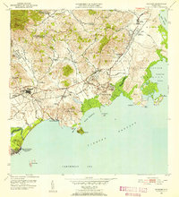
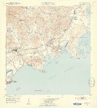
Editions of this 1952 Naguabo Map
2 editions found
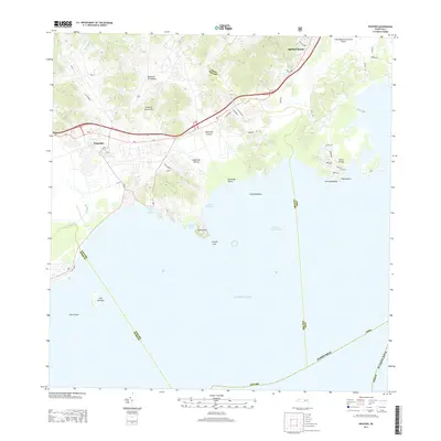
Historical Maps of Ceiba Through Time
7 maps found