
1946 Map of Fajardo
USGS Topo · Published 1946About this map
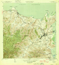
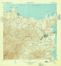
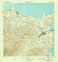
The agricultural landscape of northeast Puerto Rico is defined here by a dense network of colonias, illustrating the region's intensive land use and social structure in the mid-1940s. Centered around Fajardo, the map captures the transition from the mountainous interior to the coastal plains of the Océano Atlántico. Numerous sugar estates or settlement clusters like Colonia Monserrate, Colonia San Pedro, and Colonia Santa Rita are scattered across the terrain, connected by the Fajardo Development roads and the local Transmisión lines.
Find a feature on this map
55 named features on this map. Tap any name to fly to it.
Don’t see what you’re looking for? This feature index may not catch every label — zoom into the map to look around manually.
Map Details
Editions of this 1946 Fajardo Map
4 editions found
Other maps of this area

1941 · Rio Grande
USGS Topo · 1:30,000

1945 · Cayo Icacos
USGS Topo · 1:30,000

1945 · El Yunque
USGS Topo · 1:30,000

1946 · El Yunque
USGS Topo · 1:30,000

1946 · Punta Puerca
USGS Topo · 1:30,000

1946 · Naguabo
USGS Topo · 1:30,000

1947 · El Yunque NE
USGS Topo · 1:10,000

1947 · Rio Grande
USGS Topo · 1:30,000

1947 · El Yunque SE
USGS Topo · 1:10,000

1947 · Naguabo NE
USGS Topo · 1:10,000