
1945 Map of Cayo Icacos
USGS Topo · Published 1945About this map
Cabezas De San Juan anchors the northwestern corner of this maritime study, where the coastal terrain meets the Pasaje De San Juan. The map details a sophisticated network of reefs and small islands stretching across the Océano Atlántico, emphasizing the archipelago's maritime importance. Central to the sheet are Isla Palomino and its neighbor Isla Palominitos, which rise from the surrounding Sonda De Vieques.
Find a feature on this map
26 named features on this map. Tap any name to fly to it.
Don’t see what you’re looking for? This feature index may not catch every label — zoom into the map to look around manually.
Map Details
Editions of this 1945 Cayo Icacos Map
This is the sole edition of this map. No revisions or reprints were ever made.
Other maps of this area

1946 · Punta Puerca
USGS Topo · 1:30,000

1946 · Fajardo
USGS Topo · 1:30,000

1947 · Fajardo NE
USGS Topo · 1:10,000
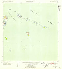
1952 · Cayo Icacos
USGS Topo · 1:30,000

1952 · Punta Puerca
USGS Topo · 1:30,000
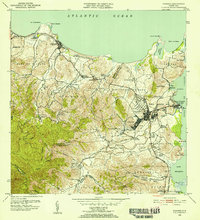
1952 · Fajardo
USGS Topo · 1:30,000
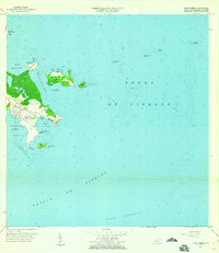
1957 · Punta Puerca
USGS Topo · 1:20,000
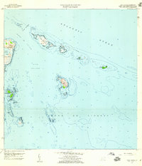
1958 · Cayo Icacos
USGS Topo · 1:20,000
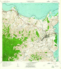
1958 · Fajardo
USGS Topo · 1:20,000
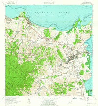
1962 · Fajardo
USGS Topo · 1:20,000