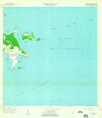
1957 Map of Punta Puerca
USGS Topo · Published 1960About this map
The Roosevelt Roads Naval Reservation dominates this coastal survey, reflecting its mid-century role as a vital maritime installation. The landscape is defined by its deep-water access and defensive posture, featuring a Faro and the protected waters of Bahía de Puerca and Ensenada Honda. To the east, the Sonda de Vieques separates the mainland from various offshore cays and hazards, including Isla Piñeros and the small Cayo Piñerito.
Find a feature on this map
29 named features on this map. Tap any name to fly to it.
Don’t see what you’re looking for? This feature index may not catch every label — zoom into the map to look around manually.
Map Details
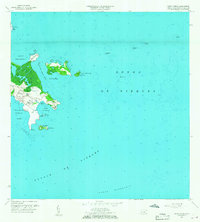
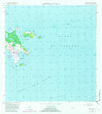
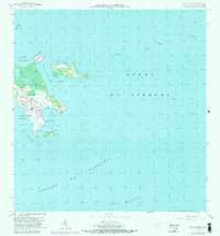
Editions of this 1957 Punta Puerca Map
4 editions found
Other maps of this area

1943 · Island Of Vieques
USGS Topo · 1:30,000

1945 · Cayo Icacos
USGS Topo · 1:30,000

1946 · Punta Puerca
USGS Topo · 1:30,000

1946 · Naguabo
USGS Topo · 1:30,000

1946 · Fajardo
USGS Topo · 1:30,000

1947 · Naguabo NE
USGS Topo · 1:10,000

1951 · Island Of Vieques
USGS Topo · 1:30,000
1952 · Cayo Icacos
USGS Topo · 1:30,000

1952 · Punta Puerca
USGS Topo · 1:30,000
1952 · Naguabo
USGS Topo · 1:30,000