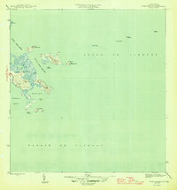
1957 Map of Punta Puerca
USGS Topo · Published 1968About this map
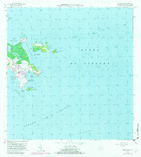
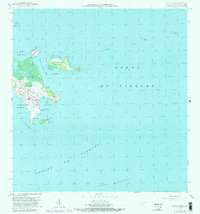
The Roosevelt Roads Naval Reservation dominates this 1957 coastal survey of eastern Puerto Rico, documenting the strategic military infrastructure established during the mid-20th century. The map details the complex shoreline of Guayacán and Machos, where the naval presence is marked by features like the Antena de Radio and the Dique de Carena. Beyond the mainland, the survey tracks several small islands and cays including Isla Piñeros, Isla Cabras, and North Cabras Island, providing a record of the maritime topography used for naval operations.
Find a feature on this map
28 named features on this map. Tap any name to fly to it.
Don’t see what you’re looking for? This feature index may not catch every label — zoom into the map to look around manually.
Map Details
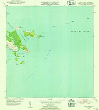
Editions of this 1957 Punta Puerca Map
4 editions found
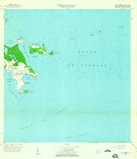
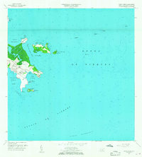
Historical Maps of Machos Through Time
3 maps found