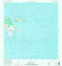
1957 Map of Punta Puerca
USGS Topo · Published 1982About this map
The Roosevelt Roads Naval Reservation dominates this coastal survey of Ceiba, capturing the strategic maritime infrastructure of eastern Puerto Rico during the mid-20th century. Military development is evident across Punta Puerca and the surrounding cays, including an extensive U S Naval Reservation footprint that spans Isla Piñeros and North Cabras Island. The map details significant hydrographic features and naval engineering, such as the Dique de Carena and a 30-foot dredging project from 1953, designed to facilitate deep-water access to Ensenada Honda.
Find a feature on this map
29 named features on this map. Tap any name to fly to it.
Don’t see what you’re looking for? This feature index may not catch every label — zoom into the map to look around manually.
Map Details
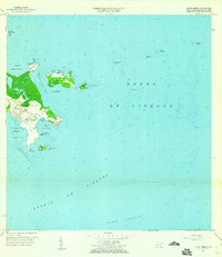
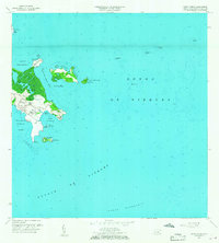
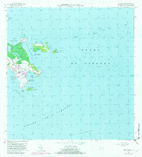
Editions of this 1957 Punta Puerca Map
4 editions found
Other maps of this area

1943 · Island Of Vieques
USGS Topo · 1:30,000

1945 · Cayo Icacos
USGS Topo · 1:30,000

1946 · Punta Puerca
USGS Topo · 1:30,000

1946 · Naguabo
USGS Topo · 1:30,000

1946 · Fajardo
USGS Topo · 1:30,000

1947 · Naguabo NE
USGS Topo · 1:10,000

1951 · Island Of Vieques
USGS Topo · 1:30,000
1952 · Cayo Icacos
USGS Topo · 1:30,000

1952 · Punta Puerca
USGS Topo · 1:30,000
1952 · Naguabo
USGS Topo · 1:30,000