
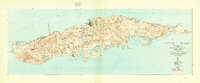
1943 Map of Island Of Vieques
USGS Topo · Published 1946About this map
Isabel Segunda serves as the primary municipal hub on the northern coast, anchoring a landscape defined by its transition from agricultural colonies to maritime outposts during the 1940s. The interior is divided into barrios such as Florida, Puerto Real, and Llave, showing the footprint of organized agricultural efforts through Colonia Lujan and Colonia Puerto Real. The coastline is a complex network of bays and points, from the western Punta Arenas to the easternmost tip at Punta Este. Coastal features like the Pta Mulas Faro and the Desembarcadero Mosquito reflect the island's reliance on the sea for transport and navigation. The southern coast is particularly diverse, featuring the sweeping Ensenada Sun Bay and a series of lagoons including Laguna Kiani and Laguna Playa Grande, illustrating the island's unique hydrography before later 20th-century developments changed the local environment.
Find a feature on this map
79 named features on this map. Tap any name to fly to it.
Don’t see what you’re looking for? This feature index may not catch every label — zoom into the map to look around manually.
Map Details
Editions of this 1943 Island Of Vieques Map
2 editions found
Other maps of this area

1946 · Punta Puerca
USGS Topo · 1:30,000

1951 · Island Of Vieques
USGS Topo · 1:30,000

1952 · Punta Puerca
USGS Topo · 1:30,000
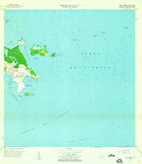
1957 · Punta Puerca
USGS Topo · 1:20,000
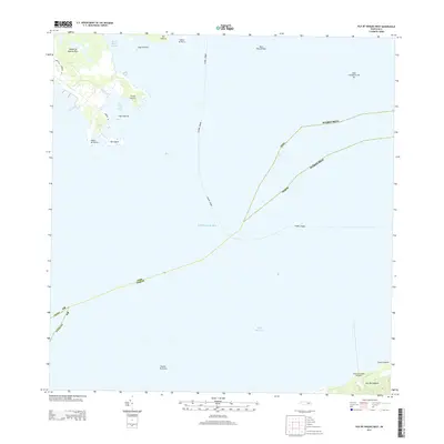
2013 · Isla De Vieques West
USGS Topo · 1:20,000
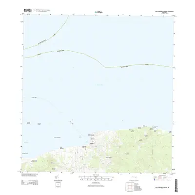
2013 · Isla De Vieques Central
USGS Topo · 1:20,000
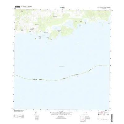
2013 · Isla De Vieques Central OE S
USGS Topo · 1:20,000
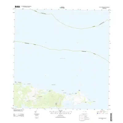
2013 · Isla De Vieques East
USGS Topo · 1:20,000
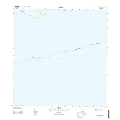
2013 · Isla De Vieques East OE S
USGS Topo · 1:20,000
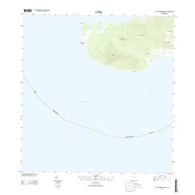
2013 · Isla De Vieques West OE S
USGS Topo · 1:20,000
Featured Places
- Isabel Segunda, Vieques
- La Hueca, Vieques
- Quintas de Santa Elena, Vieques
- El Pilón, Vieques
- Bravos de Boston, Vieques