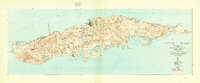
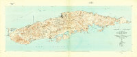
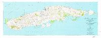
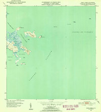
1943 Map of Island Of Vieques
USGS Topo · Published 1946About this map
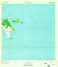
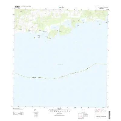
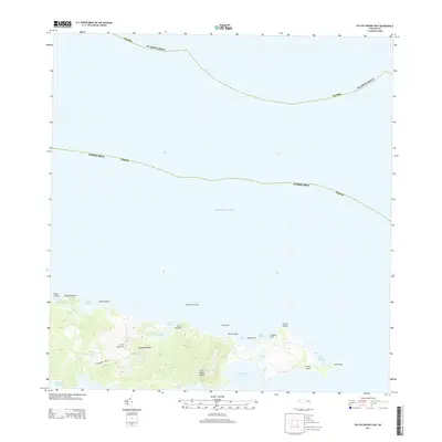
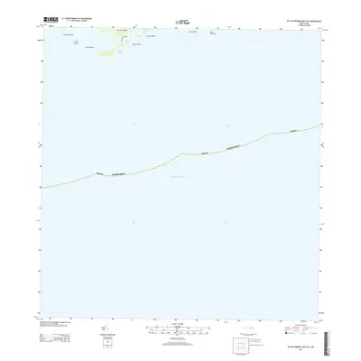
Isabel Segunda serves as the primary hub on the northern coast of this 1940s survey, showing a network of roads and trails connecting the island's coastal settlements and agricultural colonias. The map captures the landscape before major modern changes, detailing a string of inland settlements such as Santa Maria, Moscoso, and Barriada Monte Santo. The southern shore is defined by a succession of protected bays and lagoons, including Ensenada Sun Bay, Puerto Mosquito, and Puerto Ferro, which supported the local maritime economy and fishing villages like Esperanza. To the west, the expansive Laguna Arenas and Laguna Kiani dominate the low-lying terrain of Punta Arenas. This record provides an intricate look at land use during a transitional era for the island, documenting the locations of sugar-related properties like Colonia Lujan and Colonia Puerto Real alongside smaller community projects like Proyecto Barrancón.
Find a feature on this map
86 named features on this map. Tap any name to fly to it.
Don’t see what you’re looking for? This feature index may not catch every label — zoom into the map to look around manually.
Map Details
Editions of this 1943 Island Of Vieques Map
2 editions found
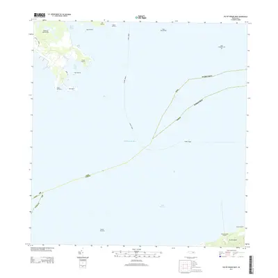
Other maps of this area
1943 · Island Of Vieques
USGS Topo · 1:30,000
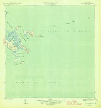
1946 · Punta Puerca
USGS Topo · 1:30,000
1951 · Island Of Vieques
USGS Topo · 1:30,000
1952 · Punta Puerca
USGS Topo · 1:30,000
1957 · Punta Puerca
USGS Topo · 1:20,000
2013 · Isla De Vieques West
USGS Topo · 1:20,000
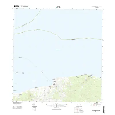
2013 · Isla De Vieques Central
USGS Topo · 1:20,000
2013 · Isla De Vieques Central OE S
USGS Topo · 1:20,000
2013 · Isla De Vieques East
USGS Topo · 1:20,000
2013 · Isla De Vieques East OE S
USGS Topo · 1:20,000
Featured Places
- Isabel Segunda, Vieques
- La Hueca, Vieques
- Quintas de Santa Elena, Vieques
- El Pilón, Vieques
- Bravos de Boston, Vieques