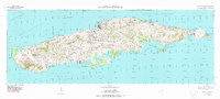
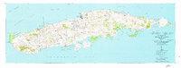
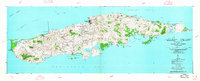
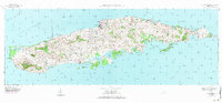
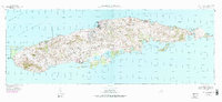
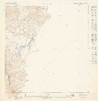
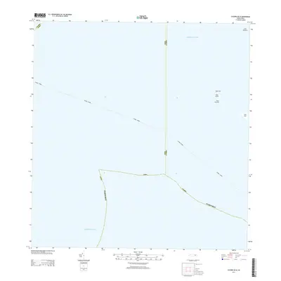
1951 Map of Isla De Vieques
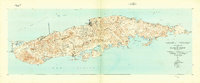
USGS Topo · Published 1988About this map
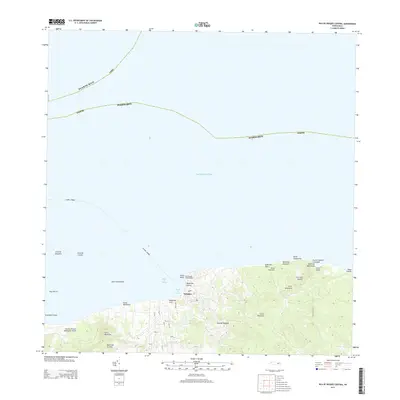
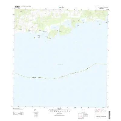
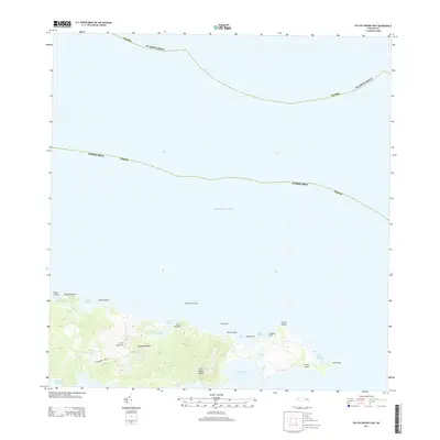
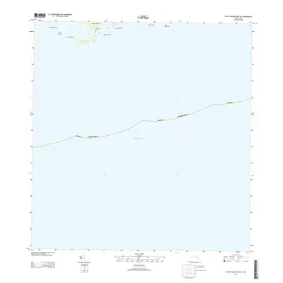
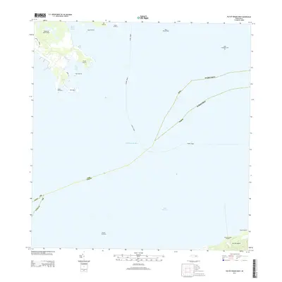
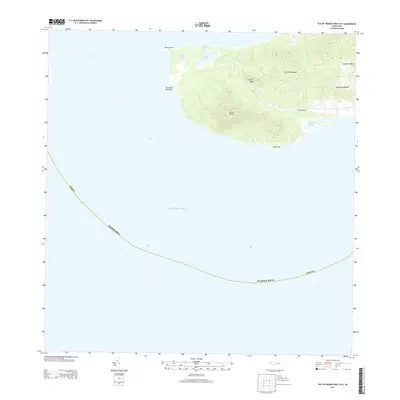
Isabel Segunda serves as the primary hub on this coastal survey, where the northern shoreline meets the Pta Mulas Faro. The island's mid-century landscape is defined by its agricultural and military transition, featuring several colonias and the Hacienda Arcadia. To the south, the settlement of Esperanza sits near Puerto Real, while the expansive MCAS Camp Garcia occupies a significant portion of the central and southern terrain.
Find a feature on this map
88 named features on this map. Tap any name to fly to it.
Don’t see what you’re looking for? This feature index may not catch every label — zoom into the map to look around manually.
Map Details
Editions of this 1951 Isla De Vieques Map
5 editions found
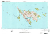
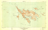
Historical Maps of Isabel Segunda Through Time
31 maps found
1943 Island Of Vieques
Humacao Municipio, PR
1947 Humacao SE
Humacao Municipio, PR
1947 Humacao SO
Humacao Municipio, PR
1947 Punta Guayanes NE
Humacao Municipio, PR
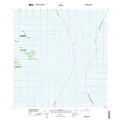
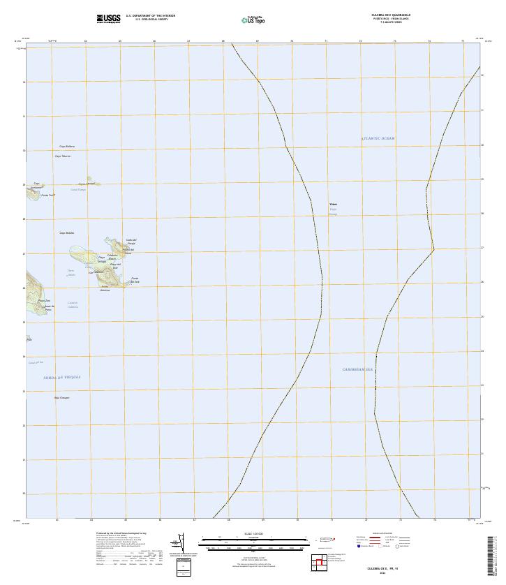
1948 Culebra And Adjacent Islands
Humacao Municipio, PR
1950 Culebra And Adjacent Islands
Humacao Municipio, PR
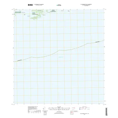
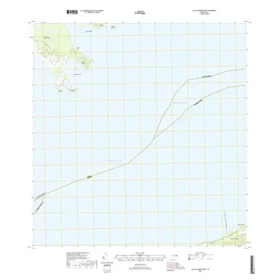
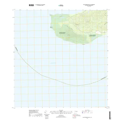
1951 Isla De Vieques
Humacao Municipio, PR
2013 Culebra OE E
Humacao Municipio, PR
2013 Culebra OE W
Humacao Municipio, PR
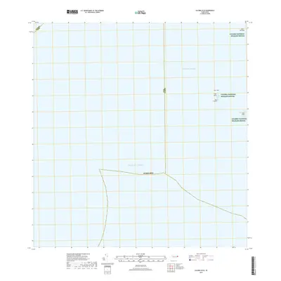
2013 Isla De Vieques Central
Humacao Municipio, PR
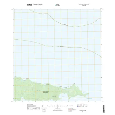
2013 Isla De Vieques Central OE S
Humacao Municipio, PR
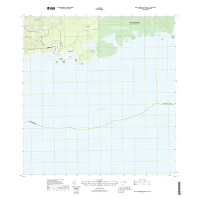
2013 Isla De Vieques East
Humacao Municipio, PR
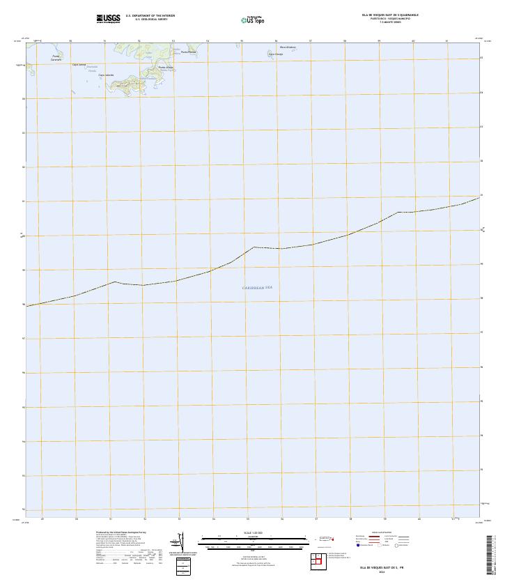
2013 Isla De Vieques East OE S
Humacao Municipio, PR
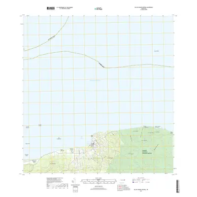
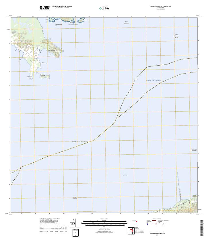
2013 Isla De Vieques West
Humacao Municipio, PR
2013 Isla De Vieques West OE S
Humacao Municipio, PR
2018 Culebra OE E
Humacao Municipio, PR
2018 Culebra OE W
Humacao Municipio, PR
2018 Isla De Vieques Central
Humacao Municipio, PR
2018 Isla De Vieques Central OE S
Humacao Municipio, PR
2018 Isla De Vieques East
Humacao Municipio, PR
2018 Isla De Vieques East OE S
Humacao Municipio, PR
2018 Isla De Vieques West
Humacao Municipio, PR
2018 Isla De Vieques West OE S
Humacao Municipio, PR
2024 Culebra OE E
Humacao Municipio, PR
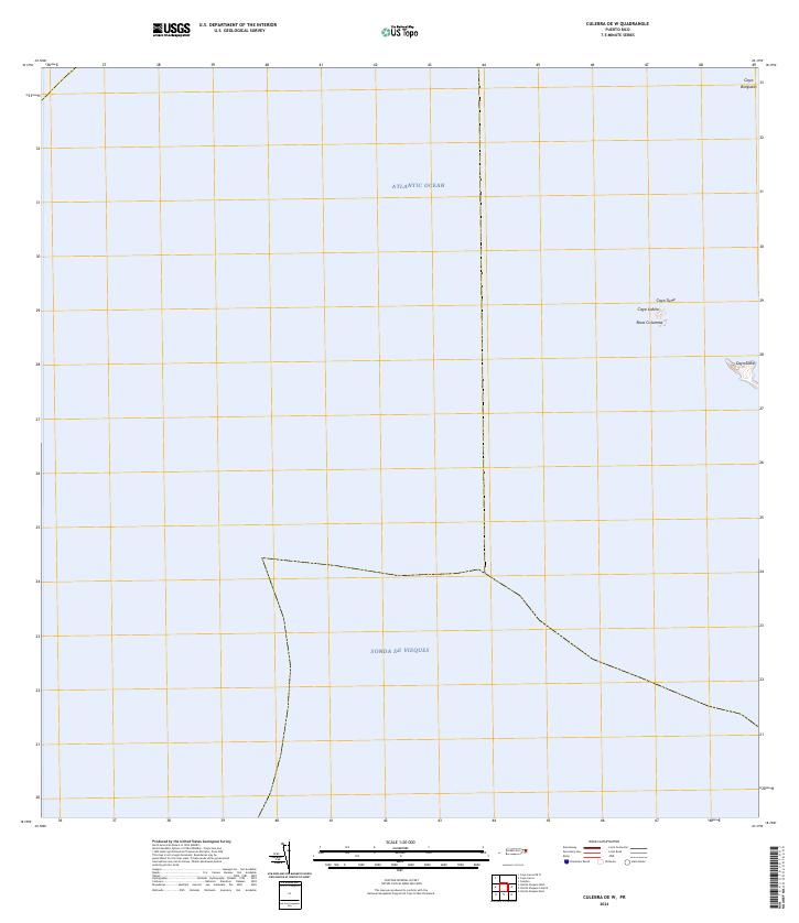
2024 Culebra OE W
Humacao Municipio, PR
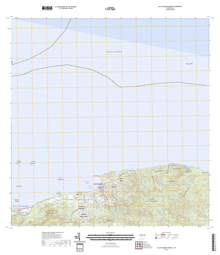
2024 Isla De Vieques Central
Humacao Municipio, PR
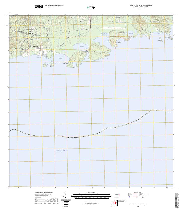
2024 Isla De Vieques Central OE S
Humacao Municipio, PR
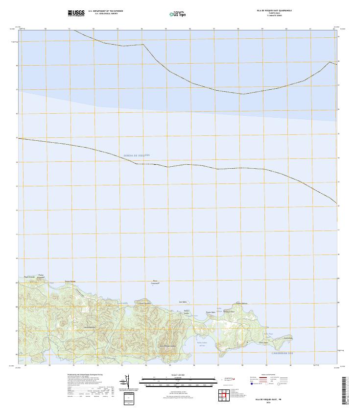
2024 Isla De Vieques East
Humacao Municipio, PR
2024 Isla De Vieques East OE S
Humacao Municipio, PR
2024 Isla De Vieques West
Humacao Municipio, PR

2024 Isla De Vieques West OE S
Humacao Municipio, PR
Featured Locations
- Quintas de Santa Elena, Vieques
- Bravos de Boston, Vieques
- El Pilón, Vieques
- Isabel Segunda, Vieques
- La Hueca, Vieques