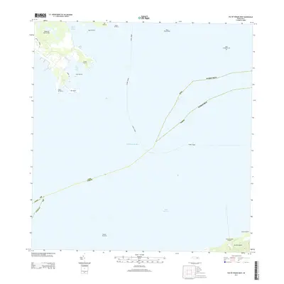
2013 Map of Isla De Vieques West
USGS Topo · Published 2013About this map
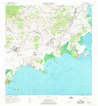
Punta Puerca and the easternmost tip of the Island of Puerto Rico face the open waters of the Caribbean Sea in this coastal survey. This maritime landscape is defined by the strategic waterways and shipping lanes connecting the mainland to the outlying islands, with the Fajardo - Vieques and Ceiba Vieques transit lines cutting through the passage. To the south, the northern shoreline of Isla de Vieques appears near Desembarcadero Mosquito and Punta Caballo, locations that have long served as vital navigation points for local trade and transport.
Find a feature on this map
24 named features on this map. Tap any name to fly to it.
Don’t see what you’re looking for? This feature index may not catch every label — zoom into the map to look around manually.
Map Details
Editions of this 2013 Isla De Vieques West Map
This is the sole edition of this map. No revisions or reprints were ever made.
Other maps of this area

1943 · Island Of Vieques
USGS Topo · 1:30,000

1946 · Punta Puerca
USGS Topo · 1:30,000

1946 · Naguabo
USGS Topo · 1:30,000

1947 · Naguabo NE
USGS Topo · 1:10,000

1951 · Island Of Vieques
USGS Topo · 1:30,000

1952 · Punta Puerca
USGS Topo · 1:30,000
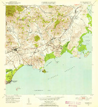
1952 · Naguabo
USGS Topo · 1:30,000
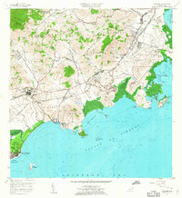
1957 · Naguabo
USGS Topo · 1:20,000
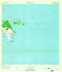
1957 · Punta Puerca
USGS Topo · 1:20,000
1967 · Naguabo
USGS Topo · 1:20,000