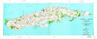
1951 Map of Island Of Vieques
USGS Topo · Published 1951About this map
Isabel Segunda serves as the primary northern hub of the island in this mid-century survey, which details a landscape of agricultural colonies and small settlements. The map illustrates the island's coastal geography, from the lighthouse at Pta Mulas Faro to the deep waters of Ensenada Honda and Roosevelt Roads. Interior life is centered around rural clusters such as Santa Maria, Moscow, and Destino, alongside the residential layout of Barriada Monte Santo.
Find a feature on this map
87 named features on this map. Tap any name to fly to it.
Don’t see what you’re looking for? This feature index may not catch every label — zoom into the map to look around manually.
Map Details
Editions of this 1951 Island Of Vieques Map
5 editions found
Other maps of this area

1943 · Island Of Vieques
USGS Topo · 1:30,000

1946 · Punta Puerca
USGS Topo · 1:30,000

1951 · Island Of Vieques
USGS Topo · 1:30,000

1952 · Punta Puerca
USGS Topo · 1:30,000
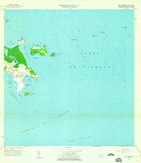
1957 · Punta Puerca
USGS Topo · 1:20,000
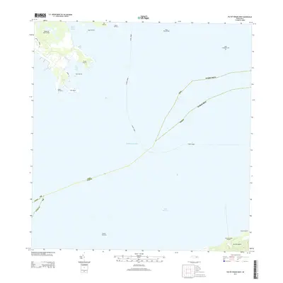
2013 · Isla De Vieques West
USGS Topo · 1:20,000
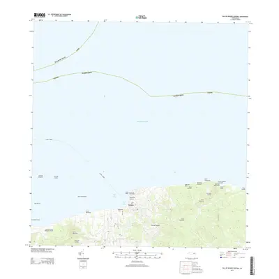
2013 · Isla De Vieques Central
USGS Topo · 1:20,000
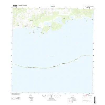
2013 · Isla De Vieques Central OE S
USGS Topo · 1:20,000
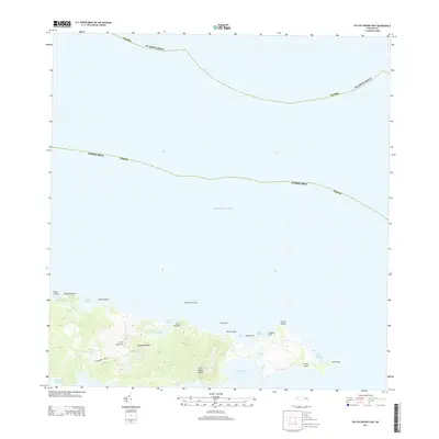
2013 · Isla De Vieques East
USGS Topo · 1:20,000
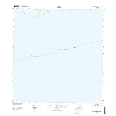
2013 · Isla De Vieques East OE S
USGS Topo · 1:20,000
Featured Places
- Isabel Segunda, Vieques
- La Hueca, Vieques
- Quintas de Santa Elena, Vieques
- El Pilón, Vieques
- Bravos de Boston, Vieques