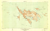
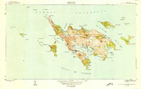
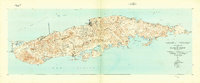
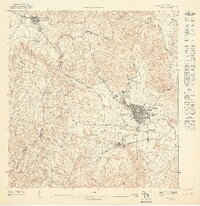
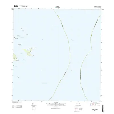
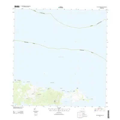
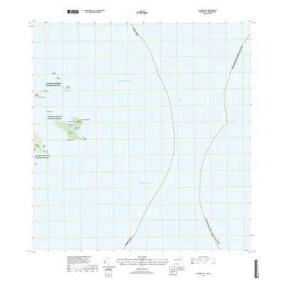
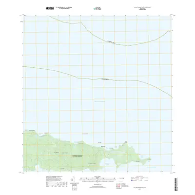
1950 Map of Culebra And Adjacent Islands
USGS Topo · Published 1950About this map
Culebra serves as the central hub of this 1950 survey, which details the intricate coastline and surrounding archipelagos of this Puerto Rican municipality. The map reveals a landscape defined by deep-water inlets and protected lagoons, with the settlement itself situated on the Bahía de Sardinas. The interior terrain is divided into several districts, including Playa Sardinas I and Playa Sardinas II, while the surrounding waters are dotted with smaller islands like Cayo Norte and Isla Culebrita. Significant coastal features such as Ensenada Honda and Ensenada del Cementerio highlight the maritime nature of the community. To the north, the horseshoe-shaped Bahía Flamenco and its adjacent Laguna del Flamenco represent the island's unique shoreline. This topographic study, produced shortly after World War II, documents the geography of the Spanish Virgin Islands before mid-century modernization altered the local footprint.
Find a feature on this map
78 named features on this map. Tap any name to fly to it.
Don’t see what you’re looking for? This feature index may not catch every label — zoom into the map to look around manually.
Map Details
Editions of this 1950 Culebra And Adjacent Islands Map
2 editions found
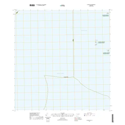
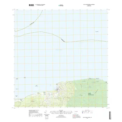
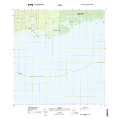
Historical Maps of Culebra Through Time
31 maps found
1943 Island Of Vieques
Humacao Municipio, PR
1947 Humacao SE
Humacao Municipio, PR
1947 Humacao SO
Humacao Municipio, PR
1947 Punta Guayanes NE
Humacao Municipio, PR
1948 Culebra And Adjacent Islands
Humacao Municipio, PR
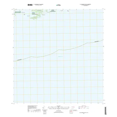
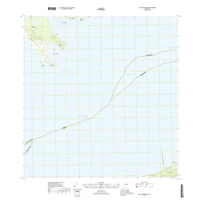
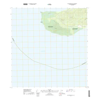
1950 Culebra And Adjacent Islands
Humacao Municipio, PR
1951 Isla De Vieques
Humacao Municipio, PR
2013 Culebra OE E
Humacao Municipio, PR
2013 Culebra OE W
Humacao Municipio, PR
2013 Isla De Vieques Central
Humacao Municipio, PR
2013 Isla De Vieques Central OE S
Humacao Municipio, PR
2013 Isla De Vieques East
Humacao Municipio, PR
2013 Isla De Vieques East OE S
Humacao Municipio, PR
2013 Isla De Vieques West
Humacao Municipio, PR
2013 Isla De Vieques West OE S
Humacao Municipio, PR
2018 Culebra OE E
Humacao Municipio, PR
2018 Culebra OE W
Humacao Municipio, PR
2018 Isla De Vieques Central
Humacao Municipio, PR
2018 Isla De Vieques Central OE S
Humacao Municipio, PR
2018 Isla De Vieques East
Humacao Municipio, PR
2018 Isla De Vieques East OE S
Humacao Municipio, PR
2018 Isla De Vieques West
Humacao Municipio, PR
2018 Isla De Vieques West OE S
Humacao Municipio, PR
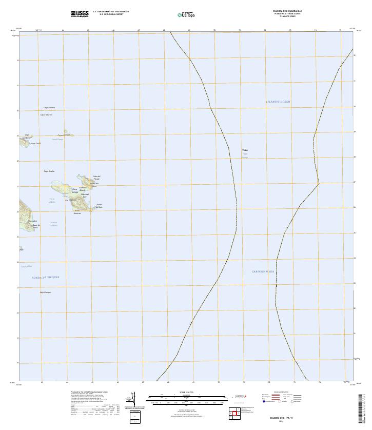
2024 Culebra OE E
Humacao Municipio, PR
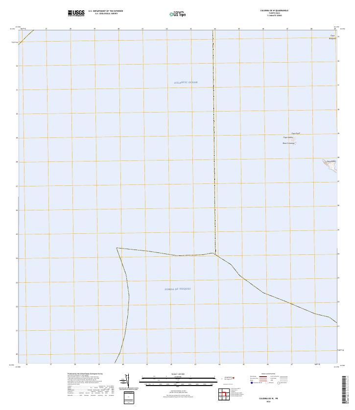
2024 Culebra OE W
Humacao Municipio, PR
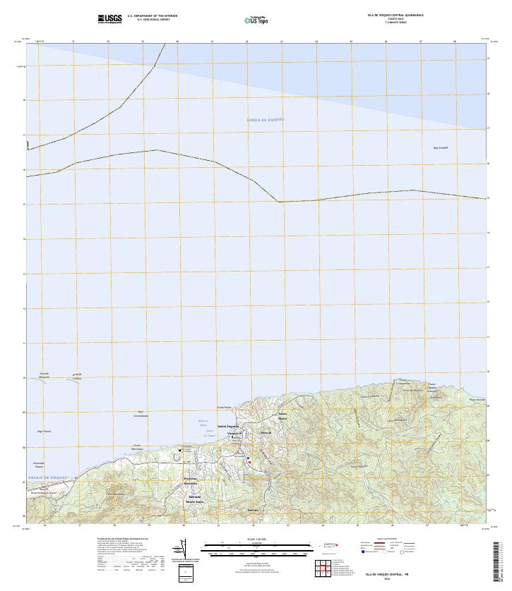
2024 Isla De Vieques Central
Humacao Municipio, PR
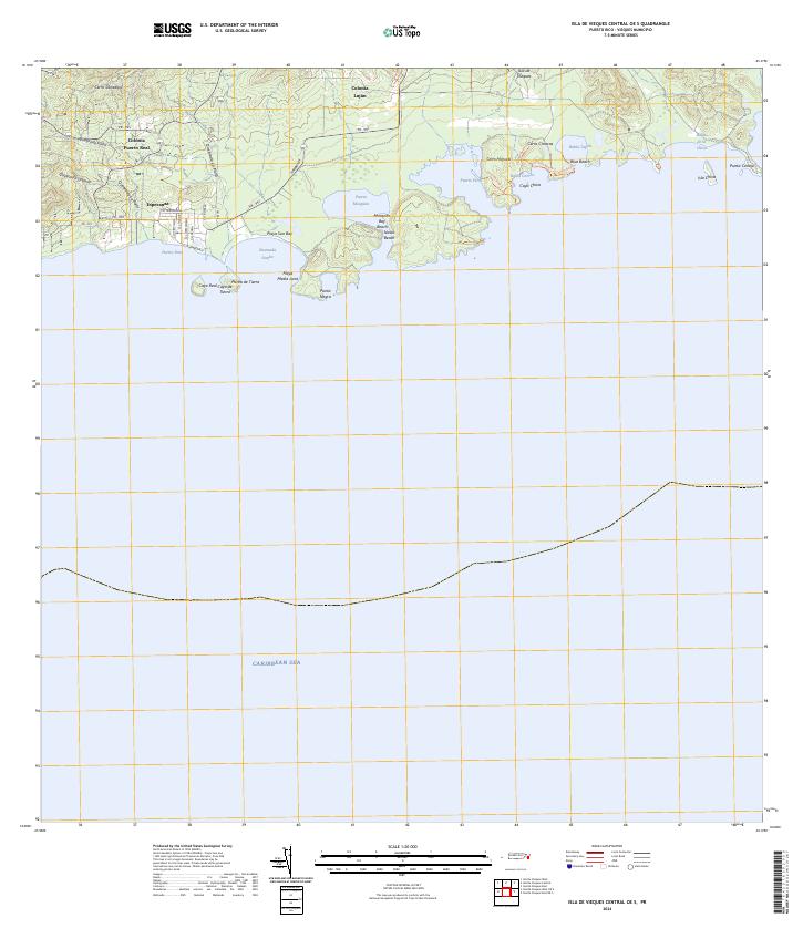
2024 Isla De Vieques Central OE S
Humacao Municipio, PR
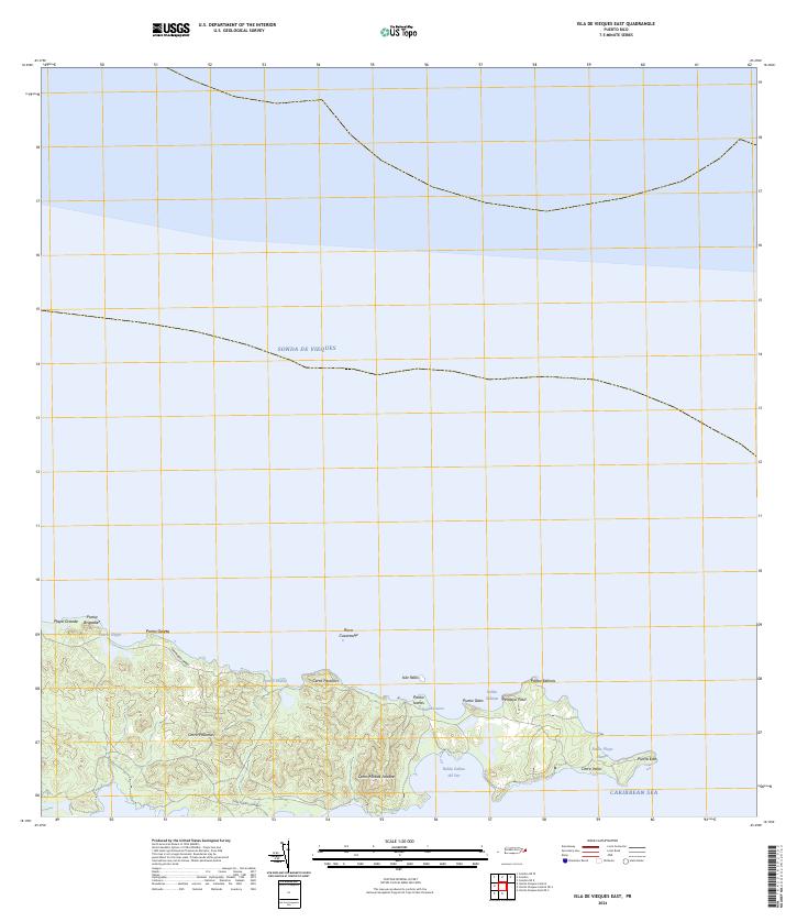
2024 Isla De Vieques East
Humacao Municipio, PR
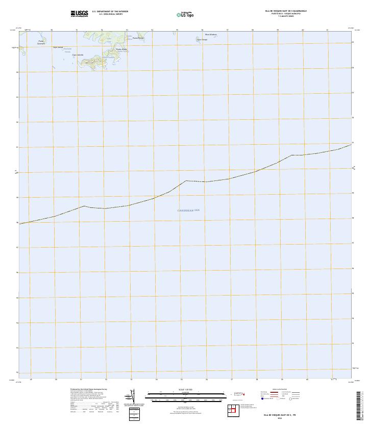
2024 Isla De Vieques East OE S
Humacao Municipio, PR
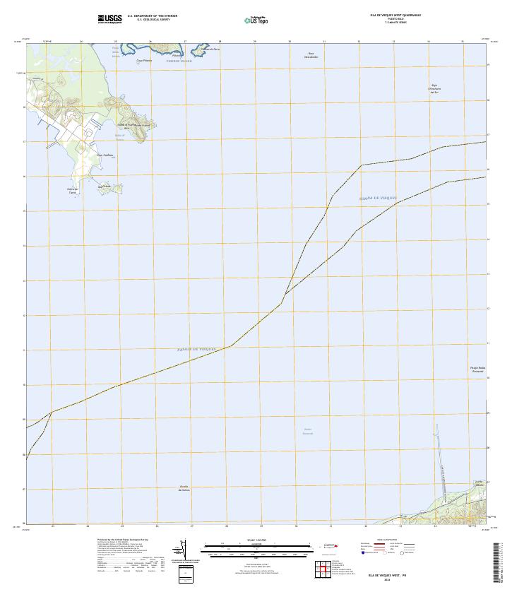
2024 Isla De Vieques West
Humacao Municipio, PR

2024 Isla De Vieques West OE S
Humacao Municipio, PR