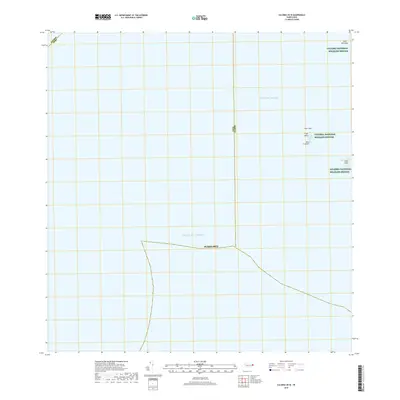
2018 Map of Culebra OE W
USGS Topo · Published 2018About this map
Culebra National Wildlife Refuge encompasses several small islands and rock formations scattered across the waters where the Atlantic Ocean meets the Sonda de Vieques. This 2018 survey emphasizes the maritime boundaries and isolated landforms of the archipelago, focusing on protected cays such as Cayo Lobo and Cayo Lobito. The map illustrates the strictly oceanic context of these landmasses, positioned along the jurisdictional lines of Ceiba Culebra and Fajardo Ceiba. The presence of features like Roca Columna and Cayo Tuna indicates a landscape primarily dedicated to conservation and habitat preservation. The lack of terrestrial infrastructure highlights the region's status as a sanctuary, where the natural shoreline and marine environment remain the primary subjects of the topographic record.
Find a feature on this map
11 named features on this map. Tap any name to fly to it.
Don’t see what you’re looking for? This feature index may not catch every label — zoom into the map to look around manually.
Map Details
Editions of this 2018 Culebra OE W Map
This is the sole edition of this map. No revisions or reprints were ever made.
Other maps of this area

1945 · Cayo Icacos
USGS Topo · 1:30,000

1946 · Punta Puerca
USGS Topo · 1:30,000
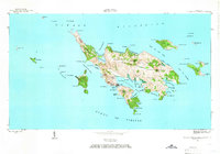
1948 · Culebra And Adjacent Islands
USGS Topo · 1:30,000
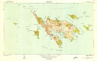
1950 · Culebra And Adjacent Islands
USGS Topo · 1:30,000
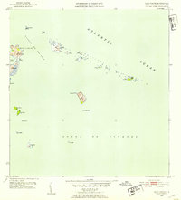
1952 · Cayo Icacos
USGS Topo · 1:30,000

1952 · Punta Puerca
USGS Topo · 1:30,000
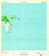
1957 · Punta Puerca
USGS Topo · 1:20,000
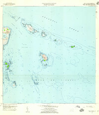
1958 · Cayo Icacos
USGS Topo · 1:20,000
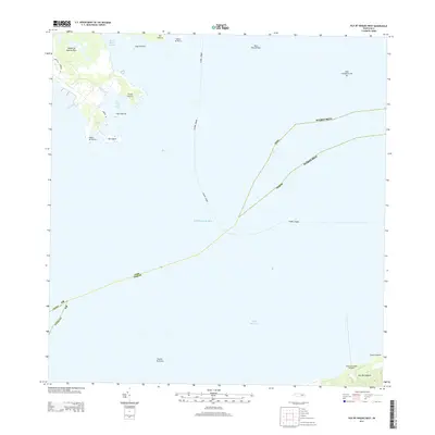
2013 · Isla De Vieques West
USGS Topo · 1:20,000
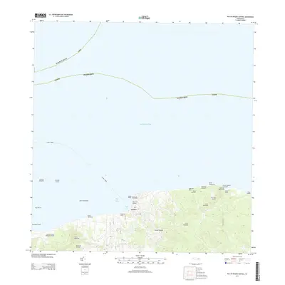
2013 · Isla De Vieques Central
USGS Topo · 1:20,000