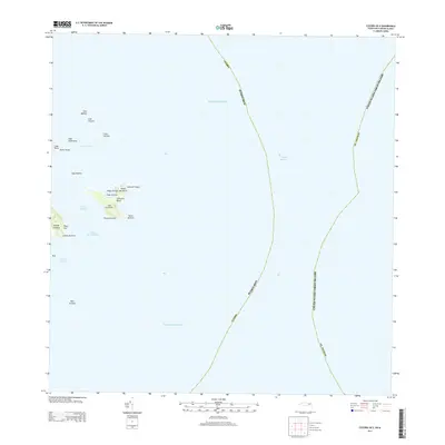
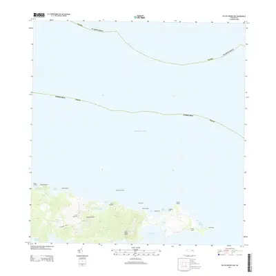
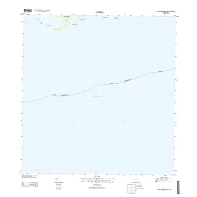
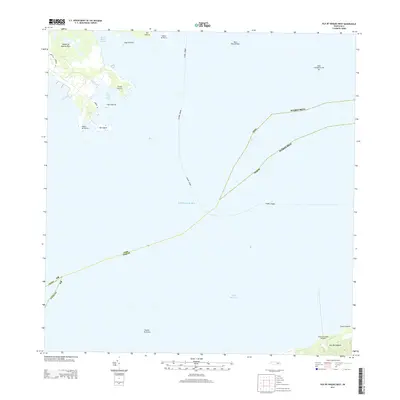
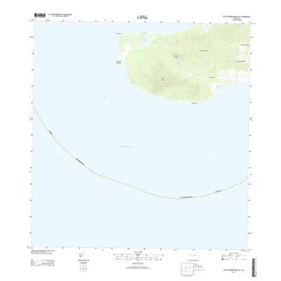
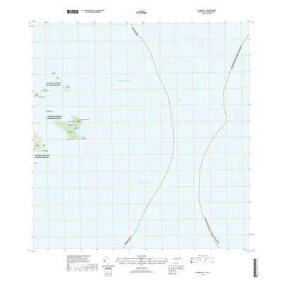
2024 Map of Culebra OE W
USGS Topo · Published 2024About this map
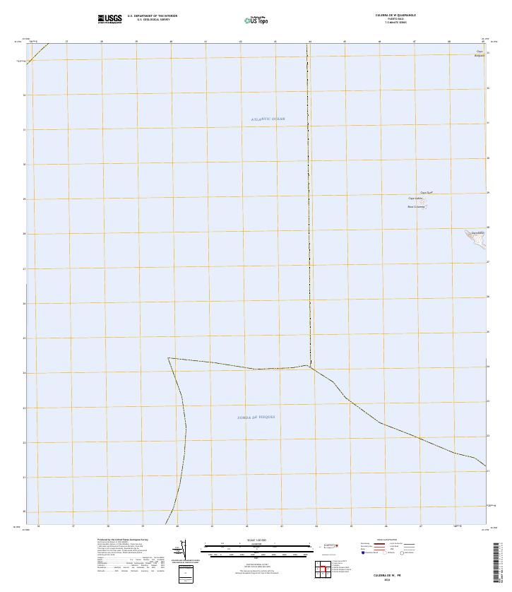
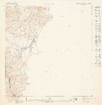
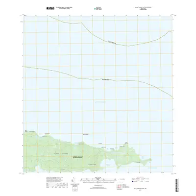
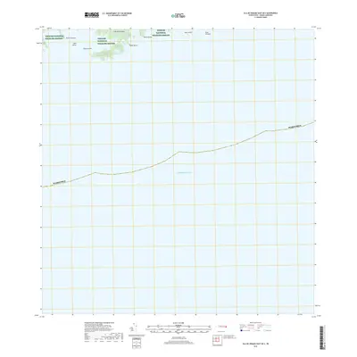
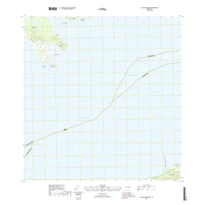
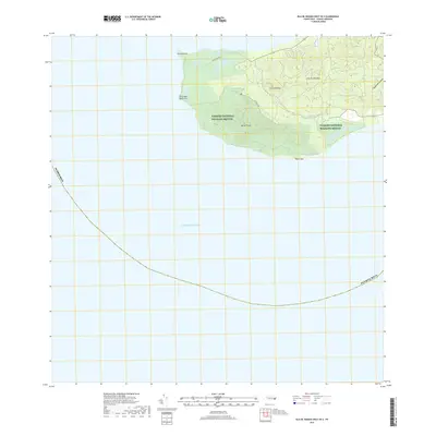
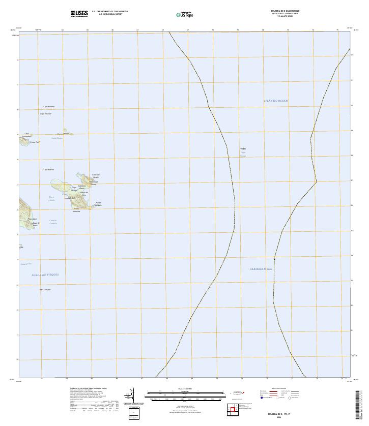
The Atlantic Ocean and Sonda de Vieques meet in this maritime-focused survey, which documents the protected cays off the coast of Culebra. The Culebra National Wildlife Refuge encompasses several small landforms, including Cayo Lobito, Cayo Lobo, and the distinct Roca Columna. This 2024 map highlights the isolation of these islets, such as Cayo Tuna and Cayo Botijuela, which remain critical habitats within the Caribbean ecosystem. The lack of infrastructure or inland settlements on these landmasses underscores their primary role as conservation areas, preserving the natural state of the archipelago's northern and southern waters for researchers and environmental stewards.
Find a feature on this map
8 named features on this map. Tap any name to fly to it.
Don’t see what you’re looking for? This feature index may not catch every label — zoom into the map to look around manually.
Map Details
Editions of this 2024 Culebra OE W Map
This is the sole edition of this map. No revisions or reprints were ever made.
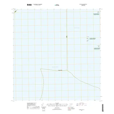
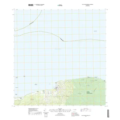
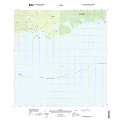
Historical Maps of Culebra Through Time
31 maps found
1943 Island Of Vieques
Humacao Municipio, PR
1947 Humacao SE
Humacao Municipio, PR
1947 Humacao SO
Humacao Municipio, PR
1947 Punta Guayanes NE
Humacao Municipio, PR
1948 Culebra And Adjacent Islands
Humacao Municipio, PR
1950 Culebra And Adjacent Islands
Humacao Municipio, PR
1951 Isla De Vieques
Humacao Municipio, PR
2013 Culebra OE E
Humacao Municipio, PR
2013 Culebra OE W
Humacao Municipio, PR
2013 Isla De Vieques Central
Humacao Municipio, PR
2013 Isla De Vieques Central OE S
Humacao Municipio, PR
2013 Isla De Vieques East
Humacao Municipio, PR
2013 Isla De Vieques East OE S
Humacao Municipio, PR
2013 Isla De Vieques West
Humacao Municipio, PR
2013 Isla De Vieques West OE S
Humacao Municipio, PR
2018 Culebra OE E
Humacao Municipio, PR
2018 Culebra OE W
Humacao Municipio, PR
2018 Isla De Vieques Central
Humacao Municipio, PR
2018 Isla De Vieques Central OE S
Humacao Municipio, PR
2018 Isla De Vieques East
Humacao Municipio, PR
2018 Isla De Vieques East OE S
Humacao Municipio, PR
2018 Isla De Vieques West
Humacao Municipio, PR
2018 Isla De Vieques West OE S
Humacao Municipio, PR
2024 Culebra OE E
Humacao Municipio, PR
2024 Culebra OE W
Humacao Municipio, PR
2024 Isla De Vieques Central
Humacao Municipio, PR
2024 Isla De Vieques Central OE S
Humacao Municipio, PR
2024 Isla De Vieques East
Humacao Municipio, PR
2024 Isla De Vieques East OE S
Humacao Municipio, PR
2024 Isla De Vieques West
Humacao Municipio, PR

2024 Isla De Vieques West OE S
Humacao Municipio, PR