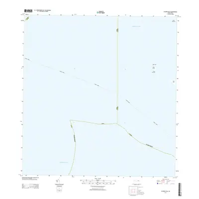
2013 Map of Culebra OE W
USGS Topo · Published 2013About this map
Atlantic Ocean and Caribbean Sea waters dominate this maritime survey west of Culebra, where the focus remains on the critical administrative and geographical boundaries that divide these island territories. The map delineates the complex maritime borders of Ceiba, Fajardo - Culebra, and Culebra Puerto Rico, illustrating how these jurisdictions are partitioned across open water. Several small cays and rock formations provide the only terrestrial anchor points in this coastal region. These include Cayo Botijuela, Cayo Tuna, Cayo Lobito, and the distinctive Roca Columna. Further south, Cayo Lobo sits near the edge of the charted area, marking a significant navigation point for those studying the archipelago's smaller outcroppings and the precise limits of local maritime districts during the early 21st century.
Find a feature on this map
13 named features on this map. Tap any name to fly to it.
Don’t see what you’re looking for? This feature index may not catch every label — zoom into the map to look around manually.
Map Details
Editions of this 2013 Culebra OE W Map
This is the sole edition of this map. No revisions or reprints were ever made.
Other maps of this area

1945 · Cayo Icacos
USGS Topo · 1:30,000

1946 · Punta Puerca
USGS Topo · 1:30,000
1948 · Culebra And Adjacent Islands
USGS Topo · 1:30,000
1950 · Culebra And Adjacent Islands
USGS Topo · 1:30,000
1952 · Cayo Icacos
USGS Topo · 1:30,000

1952 · Punta Puerca
USGS Topo · 1:30,000
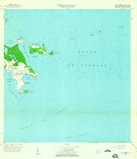
1957 · Punta Puerca
USGS Topo · 1:20,000
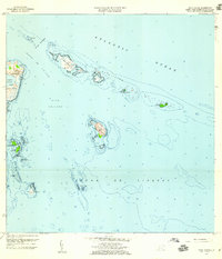
1958 · Cayo Icacos
USGS Topo · 1:20,000
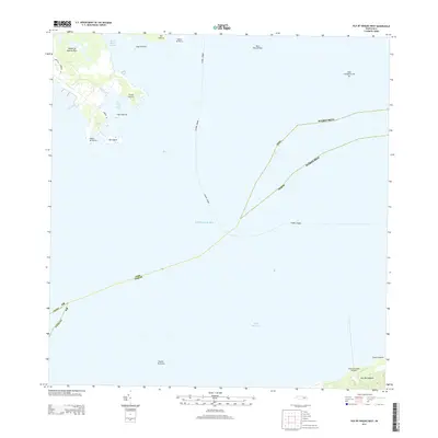
2013 · Isla De Vieques West
USGS Topo · 1:20,000
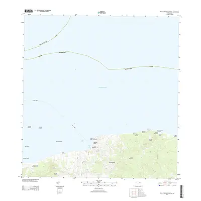
2013 · Isla De Vieques Central
USGS Topo · 1:20,000