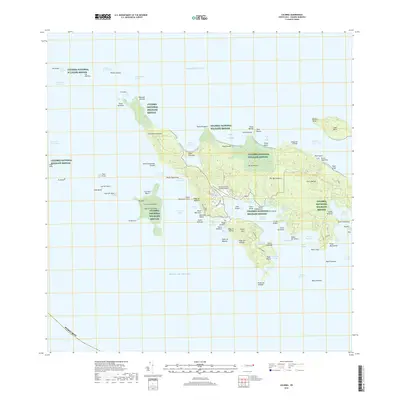
2018 Map of Culebra
USGS Topo · Published 2018About this map
Isla de Culebra is dominated by the sprawling conservation lands of the Culebra National Wildlife Refuge, which covers significant portions of the main island and its surrounding cays. This 2018 survey detail shows a landscape defined by its complex shoreline, ranging from the sheltered waters of Ensenada Honda and Bahía de Sardinas to the northern reaches of Playa Brava. The island's topographic character is marked by several prominent heights, including Monte Resaca and Cerro Balcón, providing a clear view of the inland relief. Local infrastructure is anchored by the Benjamin Rivera Noriega Airport and a central Cementerio near the coast. Beyond the primary island, the map delineates numerous smaller landmasses like Cayo Norte and Cayo Lobo, highlighting the navigational hazards and channels such as the Canal de Luis Peña and the Canal del Este that separate these landforms.
Find a feature on this map
94 named features on this map. Tap any name to fly to it.
Don’t see what you’re looking for? This feature index may not catch every label — zoom into the map to look around manually.
Map Details
Editions of this 2018 Culebra Map
This is the sole edition of this map. No revisions or reprints were ever made.
Other maps of this area
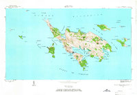
1948 · Culebra And Adjacent Islands
USGS Topo · 1:30,000
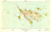
1950 · Culebra And Adjacent Islands
USGS Topo · 1:30,000
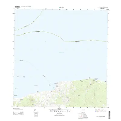
2013 · Isla De Vieques Central
USGS Topo · 1:20,000
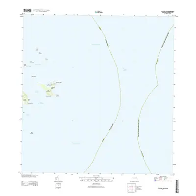
2013 · Culebra OE E
USGS Topo · 1:20,000
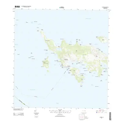
2013 · Culebra
USGS Topo · 1:20,000
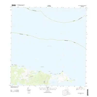
2013 · Isla De Vieques East
USGS Topo · 1:20,000
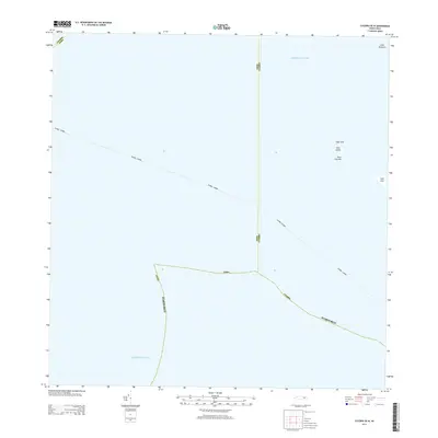
2013 · Culebra OE W
USGS Topo · 1:20,000
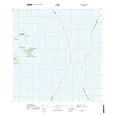
2018 · Culebra OE E
USGS Topo · 1:20,000
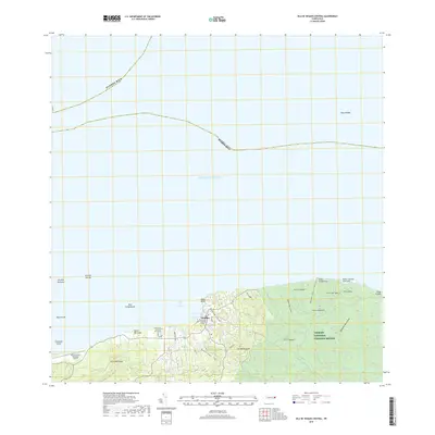
2018 · Isla De Vieques Central
USGS Topo · 1:20,000
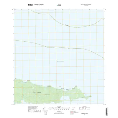
2018 · Isla De Vieques East
USGS Topo · 1:20,000