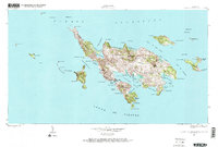
1948 Map of Culebra And Adjacent Islands
USGS Topo · Published 1985About this map
Culebra serves as the central hub of this island survey, showcasing the settlement's relationship with its complex coastline just after the mid-century. The landscape is defined by its numerous protected inlets and lagoons, including Ensenada Honda and the smaller Ensenada del Cementerio. Coastal life is concentrated around the Bahía de Sardinas, where the map detail reveals the proximity of the town to local landmarks like Cayo Pirata and the primary beach landings.
Find a feature on this map
83 named features on this map. Tap any name to fly to it.
Don’t see what you’re looking for? This feature index may not catch every label — zoom into the map to look around manually.
Map Details
Editions of this 1948 Culebra And Adjacent Islands Map
2 editions found
Other maps of this area
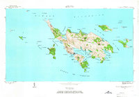
1948 · Culebra And Adjacent Islands
USGS Topo · 1:30,000
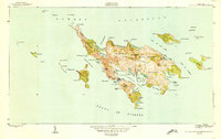
1950 · Culebra And Adjacent Islands
USGS Topo · 1:30,000
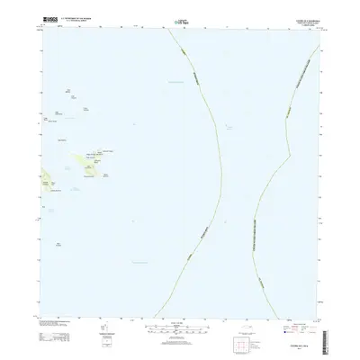
2013 · Culebra OE E
USGS Topo · 1:20,000
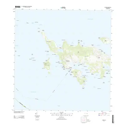
2013 · Culebra
USGS Topo · 1:20,000
2013 · Culebra OE W
USGS Topo · 1:20,000
2018 · Culebra OE E
USGS Topo · 1:20,000
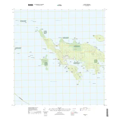
2018 · Culebra
USGS Topo · 1:20,000
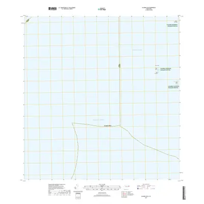
2018 · Culebra OE W
USGS Topo · 1:20,000
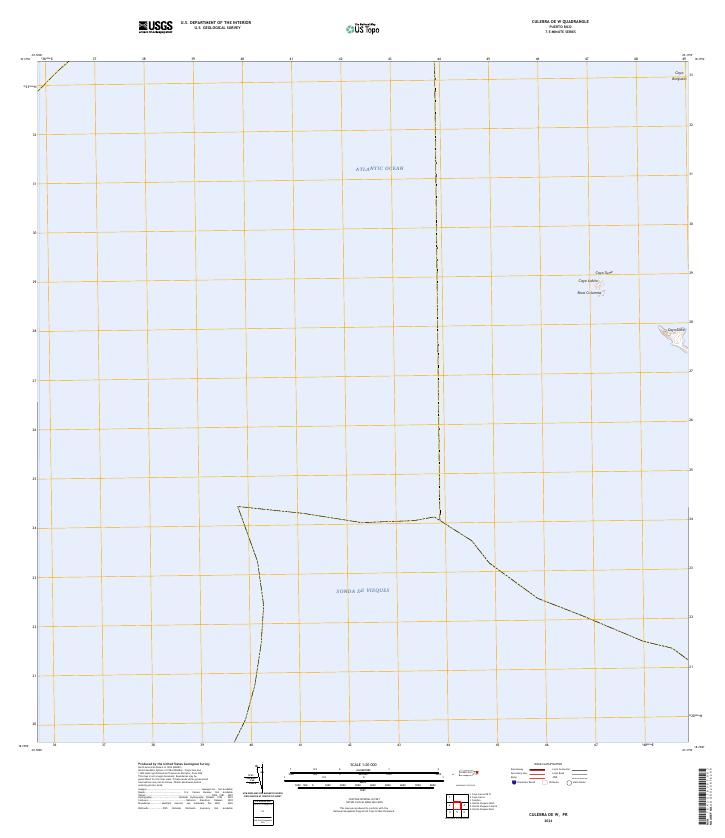
2024 · Culebra OE W
USGS Topo · 1:20,000
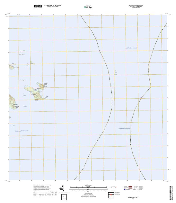
2024 · Culebra OE E
USGS Topo · 1:20,000