
1947 Map of Fajardo NE
USGS Topo · Published 1948About this map
The coastal landscapes of northeastern Puerto Rico are defined by a rhythmic succession of lagoons and rocky points in the mid-1940s. Centered on the municipality of Fajardo, the map illustrates a transition from the agricultural colonial system to early industrialization. Several prominent agricultural estates, such as Colonia Paulina, Colonia Convento, and Colonia Isidra, are etched into the hillsides, representing a era when sugar and cattle dominated the local economy. These estates are linked by primitive roads and a linea de transmision, showing the early footprint of regional infrastructure.
Find a feature on this map
19 named features on this map. Tap any name to fly to it.
Don’t see what you’re looking for? This feature index may not catch every label — zoom into the map to look around manually.
Map Details
Editions of this 1947 Fajardo NE Map
This is the sole edition of this map. No revisions or reprints were ever made.
Other maps of this area

1945 · Cayo Icacos
USGS Topo · 1:30,000

1946 · Fajardo
USGS Topo · 1:30,000
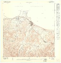
1947 · Fajardo NO
USGS Topo · 1:10,000
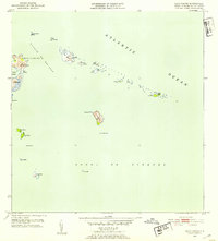
1952 · Cayo Icacos
USGS Topo · 1:30,000
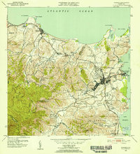
1952 · Fajardo
USGS Topo · 1:30,000
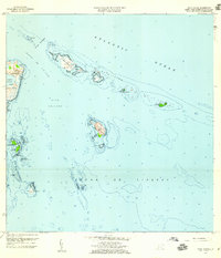
1958 · Cayo Icacos
USGS Topo · 1:20,000
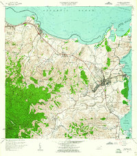
1958 · Fajardo
USGS Topo · 1:20,000
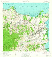
1962 · Fajardo
USGS Topo · 1:20,000
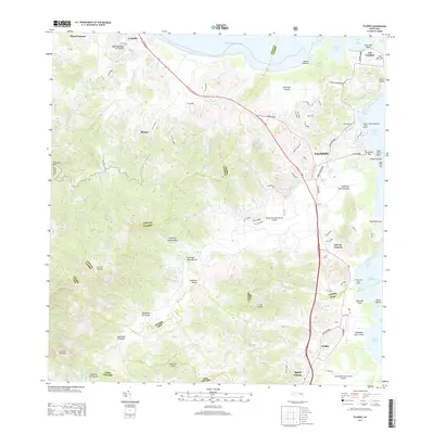
2013 · Fajardo
USGS Topo · 1:20,000
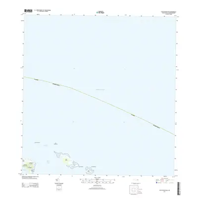
2013 · Cayo Icacos OE N
USGS Topo · 1:20,000