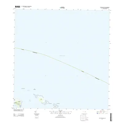
2013 Map of Cayo Icacos OE N
USGS Topo · Published 2013About this map
Faro de Cabo San Juan stands at the northeastern tip of the Island of Puerto Rico, overlooking a complex maritime landscape where the Atlantic Ocean meets the protected waters of Laguna Grande. This 2013 survey highlights the string of islets known as La Cordillera, including Cayo Icacos, Cayo Ratones, and Cayo Lobos. These small landmasses, along with rock formations like Los Farallones and Las Cucarachas, define the navigational hazards and natural boundaries of the Pasaje de San Juan. The map provides a detailed view of the coastline near Playa Canalejo and the prominent headland of Cabezas de San Juan, an area where the transition from terrestrial nature reserves to deep blue water is marked by reefs and shoals such as Bajo Laja.
Find a feature on this map
16 named features on this map. Tap any name to fly to it.
Don’t see what you’re looking for? This feature index may not catch every label — zoom into the map to look around manually.
Map Details
Editions of this 2013 Cayo Icacos OE N Map
This is the sole edition of this map. No revisions or reprints were ever made.
Other maps of this area

1945 · Cayo Icacos
USGS Topo · 1:30,000

1946 · Fajardo
USGS Topo · 1:30,000

1947 · Fajardo NE
USGS Topo · 1:10,000
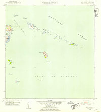
1952 · Cayo Icacos
USGS Topo · 1:30,000
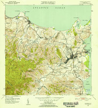
1952 · Fajardo
USGS Topo · 1:30,000
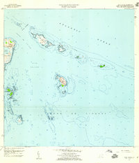
1958 · Cayo Icacos
USGS Topo · 1:20,000
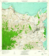
1958 · Fajardo
USGS Topo · 1:20,000
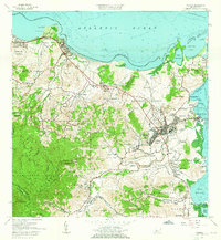
1962 · Fajardo
USGS Topo · 1:20,000
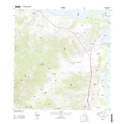
2013 · Fajardo
USGS Topo · 1:20,000
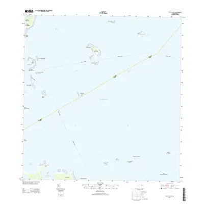
2013 · Cayo Icacos
USGS Topo · 1:20,000