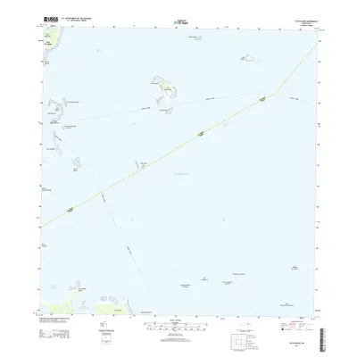
2013 Map of Cayo Icacos
USGS Topo · Published 2013About this map
Las Croabas serves as a terrestrial anchor for this marine-focused survey, where the northeastern tip of Puerto Rico meets the Caribbean Sea. The landscape is defined by its complex shoreline and an archipelago of coral keys and islands, including the prominent Isla Palominos and Isla de Ramos. This survey documents the maritime boundaries that crisscross the waters, such as the Fajardo - Culebra and Fajardo - Vieques lines, reflecting the regional connectivity between the main island and its offshore municipalities.
Find a feature on this map
35 named features on this map. Tap any name to fly to it.
Don’t see what you’re looking for? This feature index may not catch every label — zoom into the map to look around manually.
Map Details
Editions of this 2013 Cayo Icacos Map
This is the sole edition of this map. No revisions or reprints were ever made.
Other maps of this area

1945 · Cayo Icacos
USGS Topo · 1:30,000

1946 · Punta Puerca
USGS Topo · 1:30,000

1946 · Naguabo
USGS Topo · 1:30,000

1946 · Fajardo
USGS Topo · 1:30,000

1947 · Naguabo NE
USGS Topo · 1:10,000

1947 · Fajardo NE
USGS Topo · 1:10,000
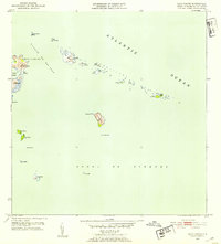
1952 · Cayo Icacos
USGS Topo · 1:30,000

1952 · Punta Puerca
USGS Topo · 1:30,000
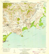
1952 · Naguabo
USGS Topo · 1:30,000
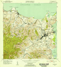
1952 · Fajardo
USGS Topo · 1:30,000