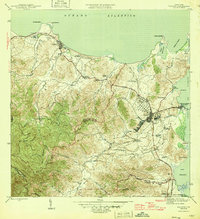
1946 Map of Fajardo
USGS Topo · Published 1946About this map
The agricultural landscape of eastern Puerto Rico is defined by numerous colonias—named estate settlements—that dot the coastal plains and foothills surrounding Fajardo and Luquillo. During this era, the local economy is deeply tied to the Fajardo Development rail network, which weaves through the lowlands to serve the sugar industry. Coastal activity centers on the port at Playa de Fajardo (Puerto Real) and the fishing village of Las Croabas, while the shoreline is marked by prominent geographic features like Cabeza Chiquita and the Laguna Grande. To the south, a Naval Reservation signals the military presence near the mouth of the Rio Demajagua. The inland terrain rises sharply from the valley floor toward the peaks of El Yunque, with small farming communities like Aldea Cintron and Colonia Paraiso established along the winding river systems of the Rio Fajardo and its many quebradas.
Find a feature on this map
63 named features on this map. Tap any name to fly to it.
Don’t see what you’re looking for? This feature index may not catch every label — zoom into the map to look around manually.
Map Details
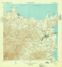
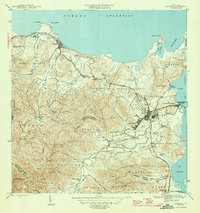
Editions of this 1946 Fajardo Map
4 editions found
Other maps of this area

1941 · Rio Grande
USGS Topo · 1:30,000

1945 · Cayo Icacos
USGS Topo · 1:30,000

1945 · El Yunque
USGS Topo · 1:30,000

1946 · El Yunque
USGS Topo · 1:30,000

1946 · Punta Puerca
USGS Topo · 1:30,000

1946 · Naguabo
USGS Topo · 1:30,000

1946 · Fajardo
USGS Topo · 1:30,000

1947 · El Yunque NE
USGS Topo · 1:10,000

1947 · Rio Grande
USGS Topo · 1:30,000

1947 · El Yunque SE
USGS Topo · 1:10,000