
1946 Map of Humacao
USGS Topo · Published 1946About this map
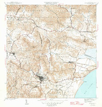
The agricultural and industrial rhythm of eastern Puerto Rico is centered on the sugar economy in this mid-1940s survey. The landscape is dominated by the Central Pasto Viejo and Central Ejemplo sugar mills, which served as the economic anchors for the surrounding colonias. A dense network of narrow-gauge tracks, including the Ferrocarril de Pasto Viejo and the Ferrocarriles de Humacao, snakes through the valley of the Rio Humacao to transport cane from fields like Colonia Santa Teresa and Colonia Mayo. To the north, the terrain rises into the Caribbean National Forest, where the Planta Hidroelectrica de Rio Blanco stands near the confluence of mountain streams. This map documents a period when local life revolved around these industrial centers and settlements such as Las Piedras and the labor-oriented Pueblito de los Perros.
Find a feature on this map
54 named features on this map. Tap any name to fly to it.
Don’t see what you’re looking for? This feature index may not catch every label — zoom into the map to look around manually.
Map Details
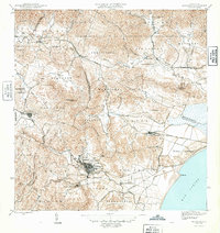
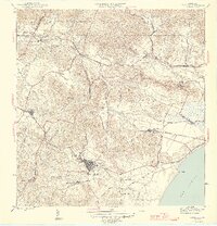
Editions of this 1946 Humacao Map
4 editions found
Other maps of this area

1945 · El Yunque
USGS Topo · 1:30,000

1946 · El Yunque
USGS Topo · 1:30,000

1946 · Punta Guayanes
USGS Topo · 1:30,000

1946 · Gurabo
USGS Topo · 1:30,000

1946 · Juncos
USGS Topo · 1:30,000

1946 · Yabucoa
USGS Topo · 1:30,000

1946 · Naguabo
USGS Topo · 1:30,000
1947 · Humacao SO
USGS Topo · 1:10,000
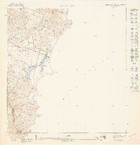
1947 · Punta Guayanes NE
USGS Topo · 1:10,000
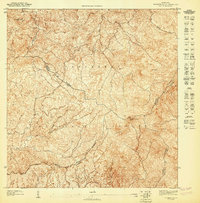
1947 · El Yunque SO
USGS Topo · 1:10,000